bobspirko.ca | Home | Canada Trips | US Trips | Hiking | Snowshoeing | MAP | About
Mount Carnarvon
Yoho National Park, B.C.
August 11, 2001
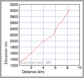
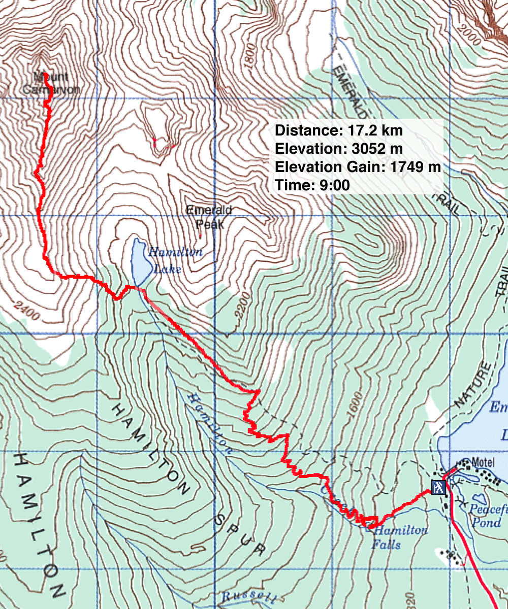
Distance: 17.2 km (10.7 mi)
Cumulative Elevation Gain: 1750 m (5741 ft)
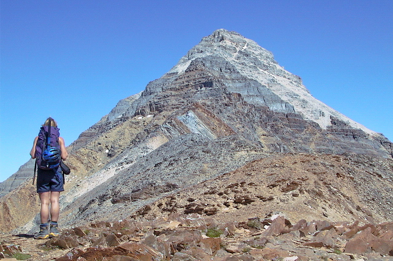
Our ascent up Mount Carnarvon began with a plod up the 5.5 km trail to Hamilton Lake. From the lake, Anita and I began hiking up the south ridge, but the last 100 m of ascent is a difficult scramble. An awesome trip – Anita and I really enjoyed the scrambling near the top. We had no trouble routefinding our way up. Just below the summit, we found different routes to take.
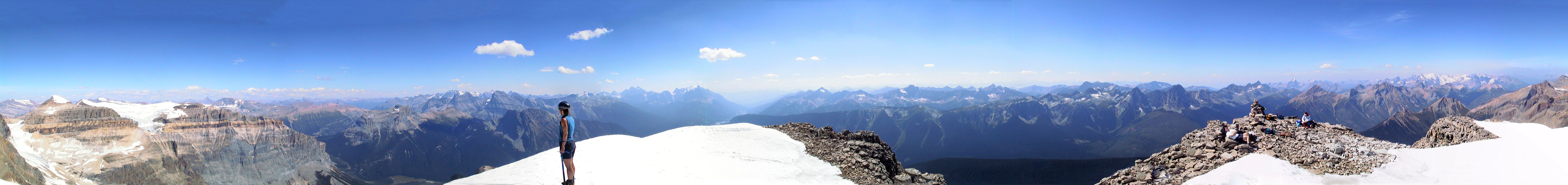
Looking east at Mount Carnarvon
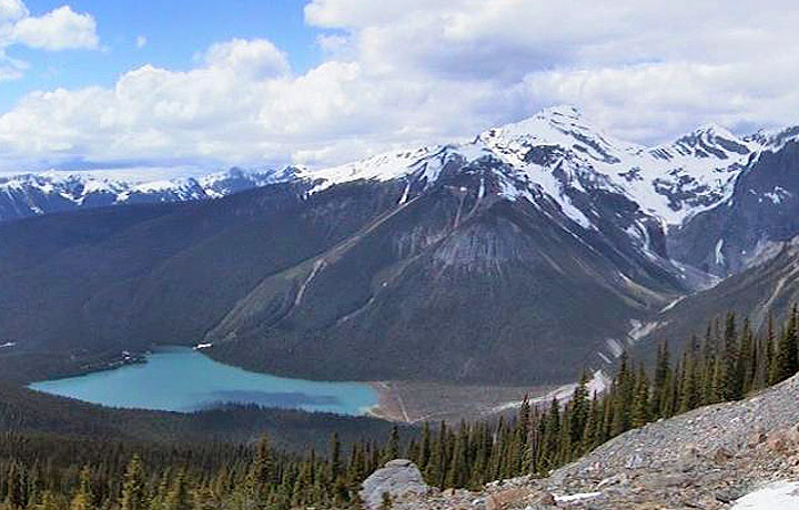
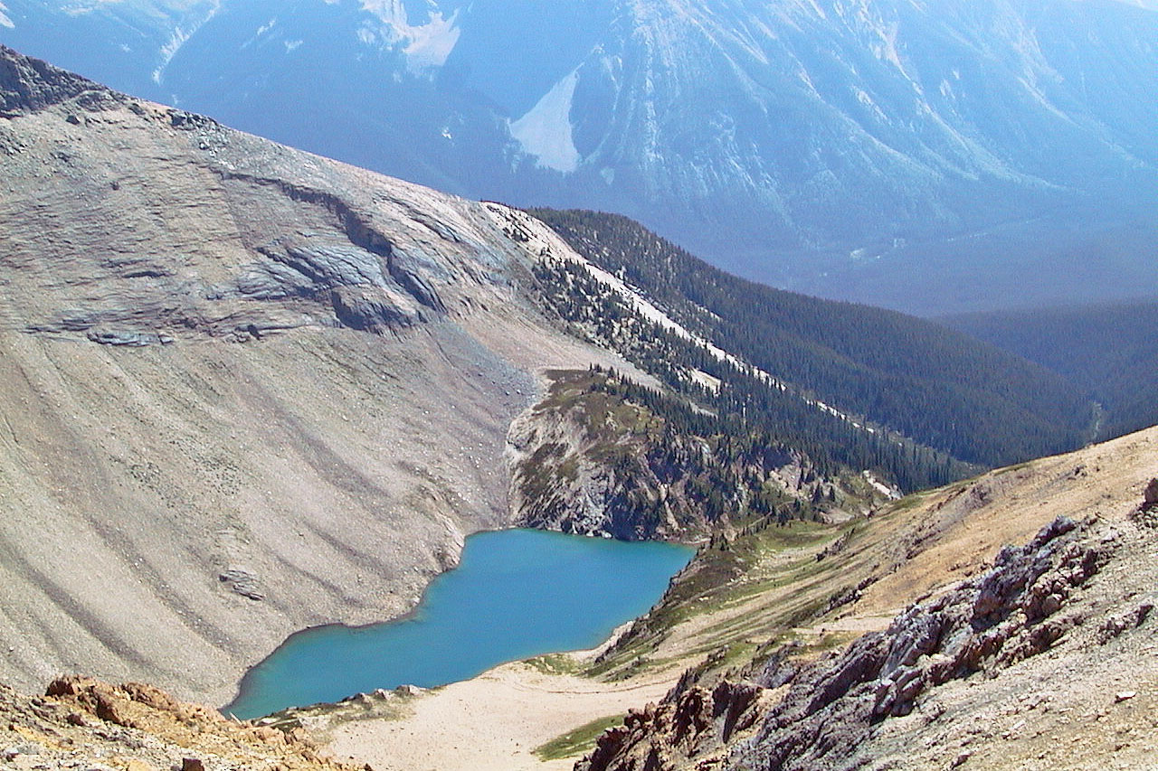
Hamilton Lake
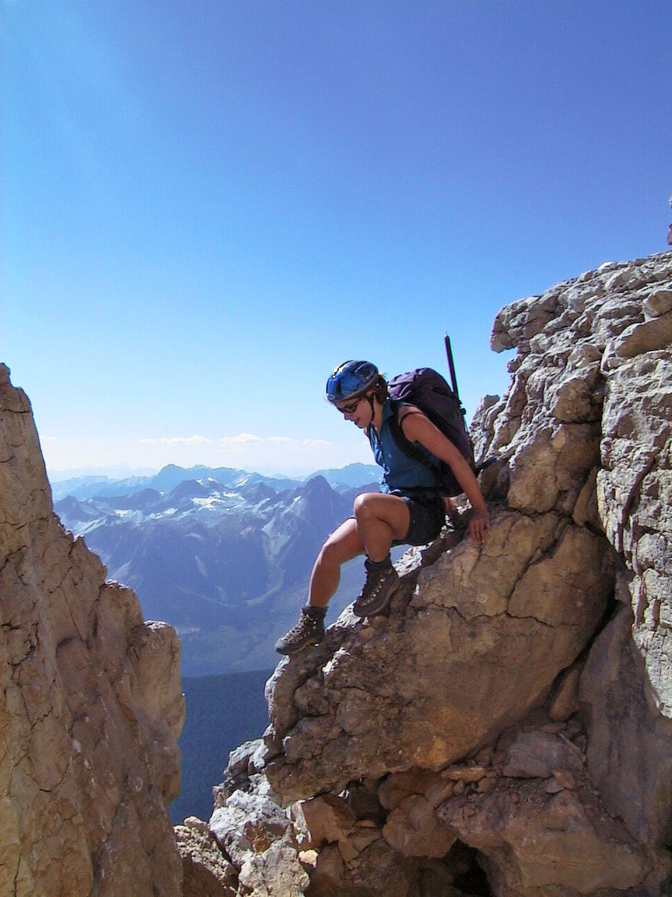
Anita on the shoulder of Mount Carnarvon, above Hamilton Lake
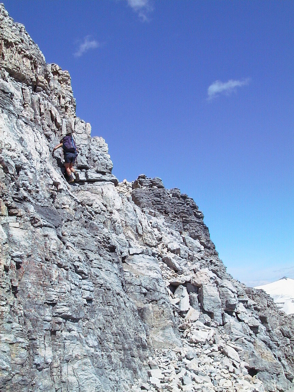
We're well above the lake now
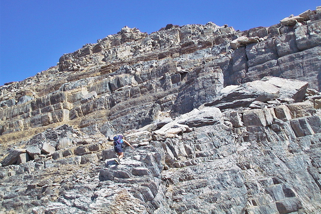
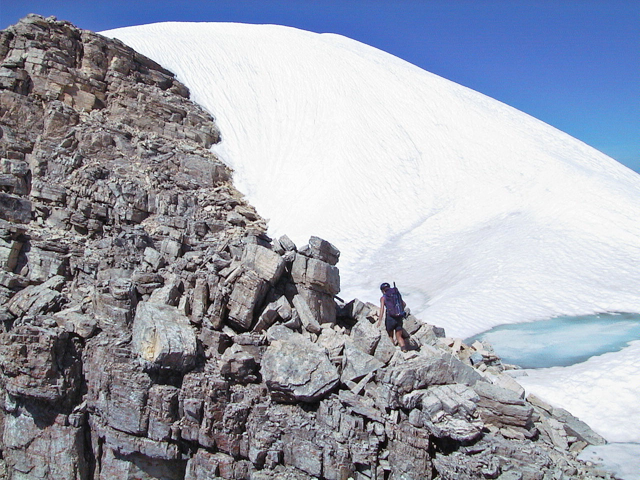
Despite appearances,
routefinding was easy
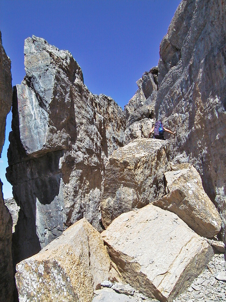
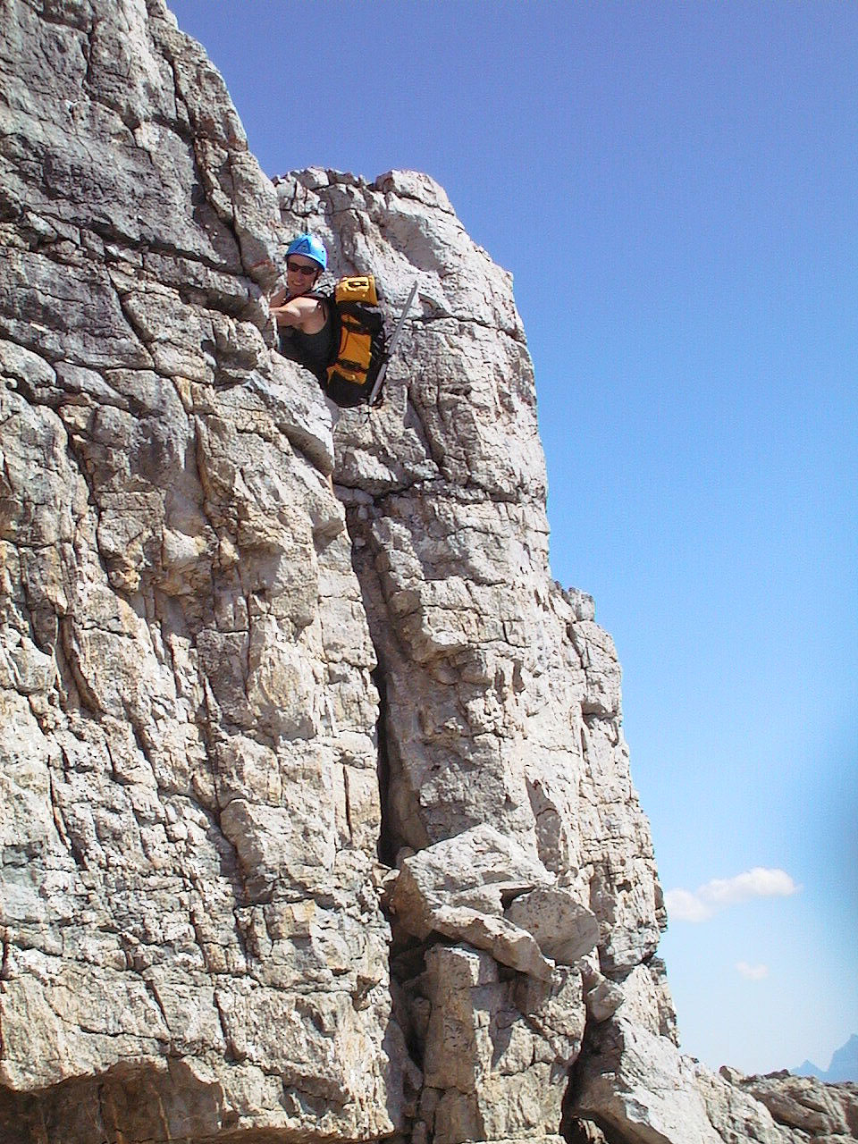
Here we detoured left before we could continue up
We then we right
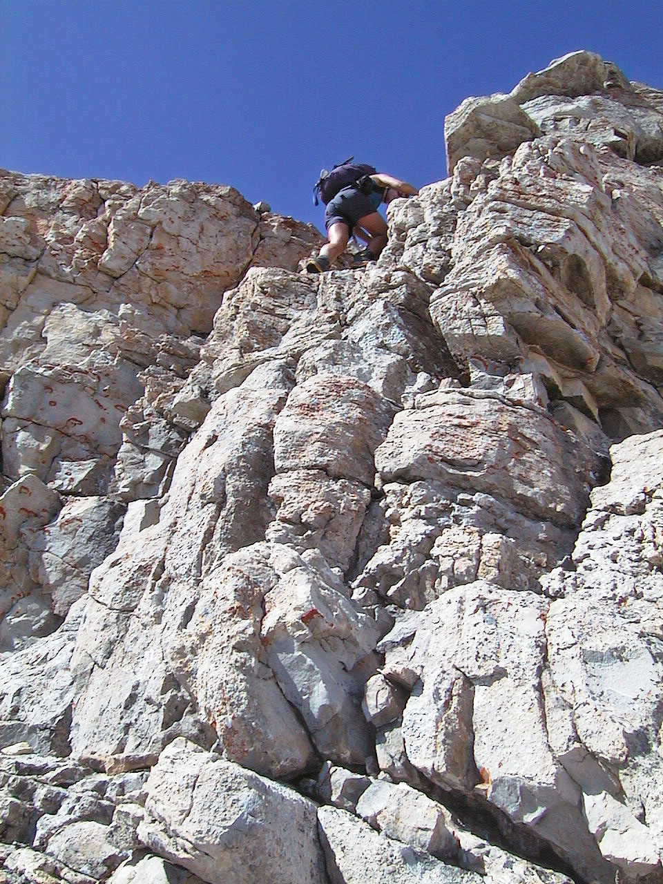
The rock was excellent!
More great rock!
Scrambling doesn't get much better than this!
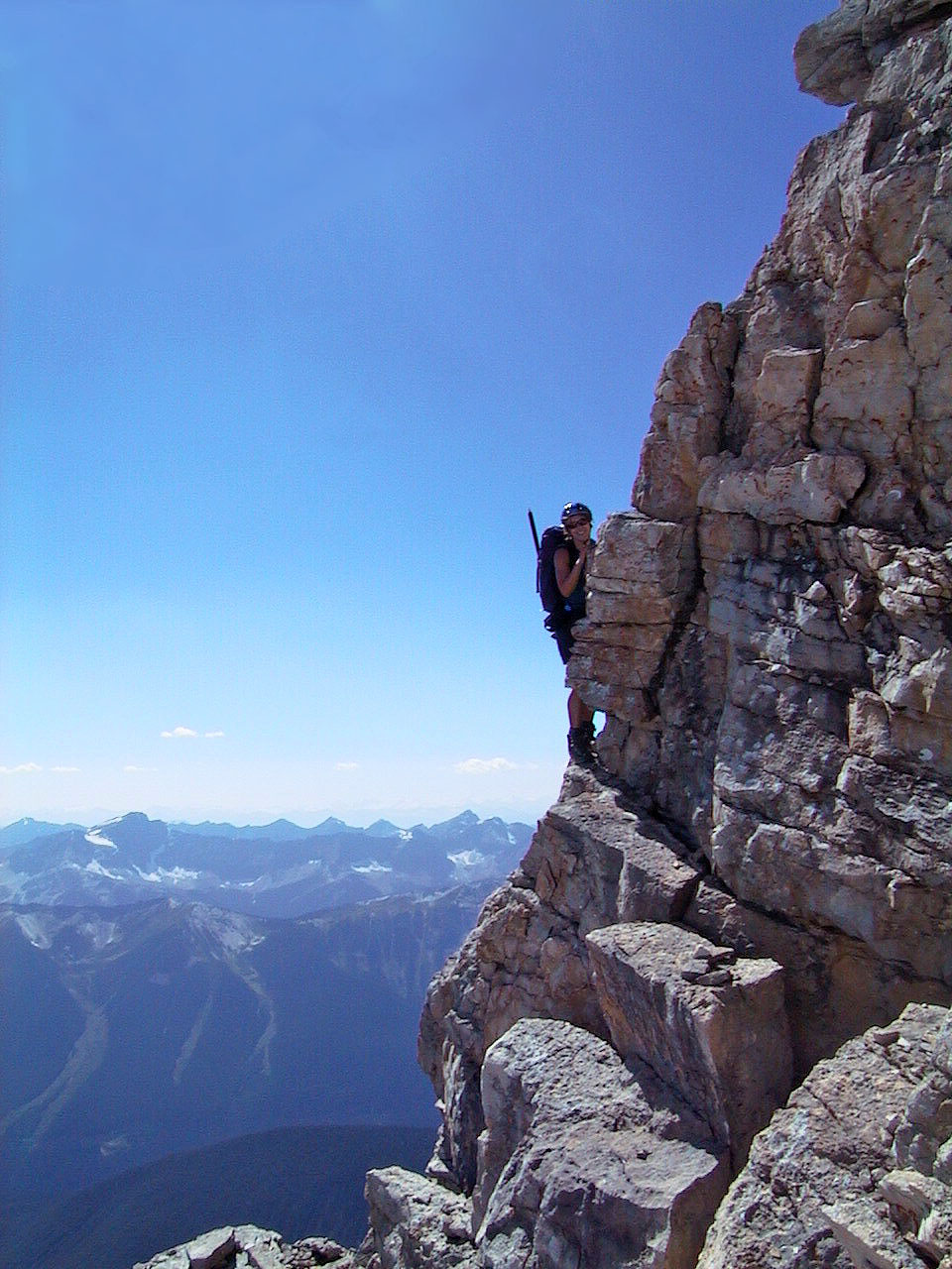
Final steps to the summit
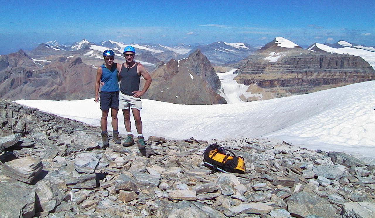
Anita and me on the summit
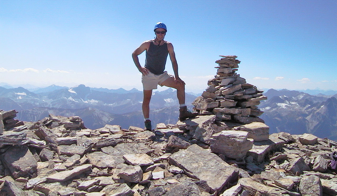
Standing by the summit cairn
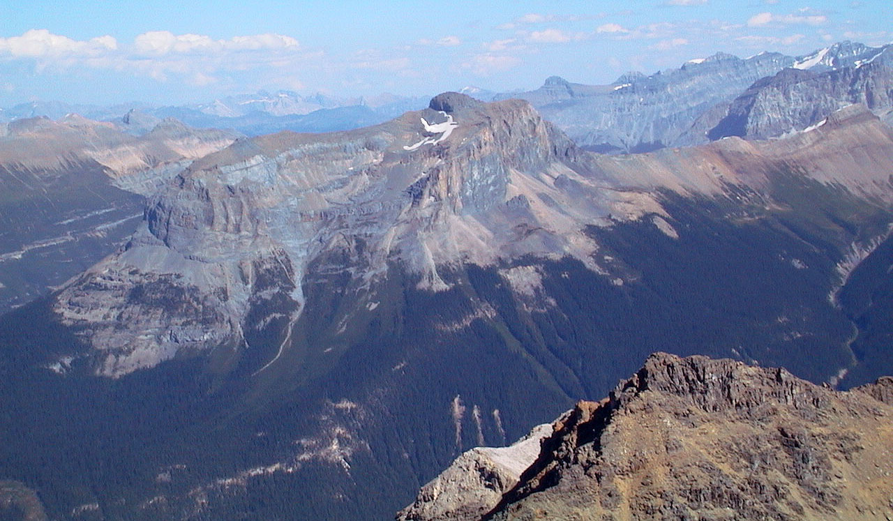
Wapta Mountain
The descent is slightly trickier
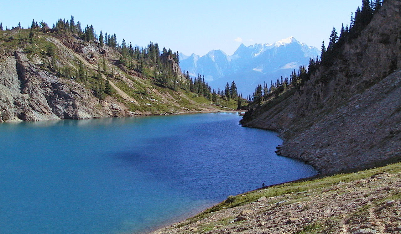
Back at Hamilton Lake, Anita and I took a dip in the frigid waters
82 N/7 Golden