bobspirko.ca | Home | Canada Trips | US Trips | Hiking | Snowshoeing | MAP | About

View from a high point past the summit
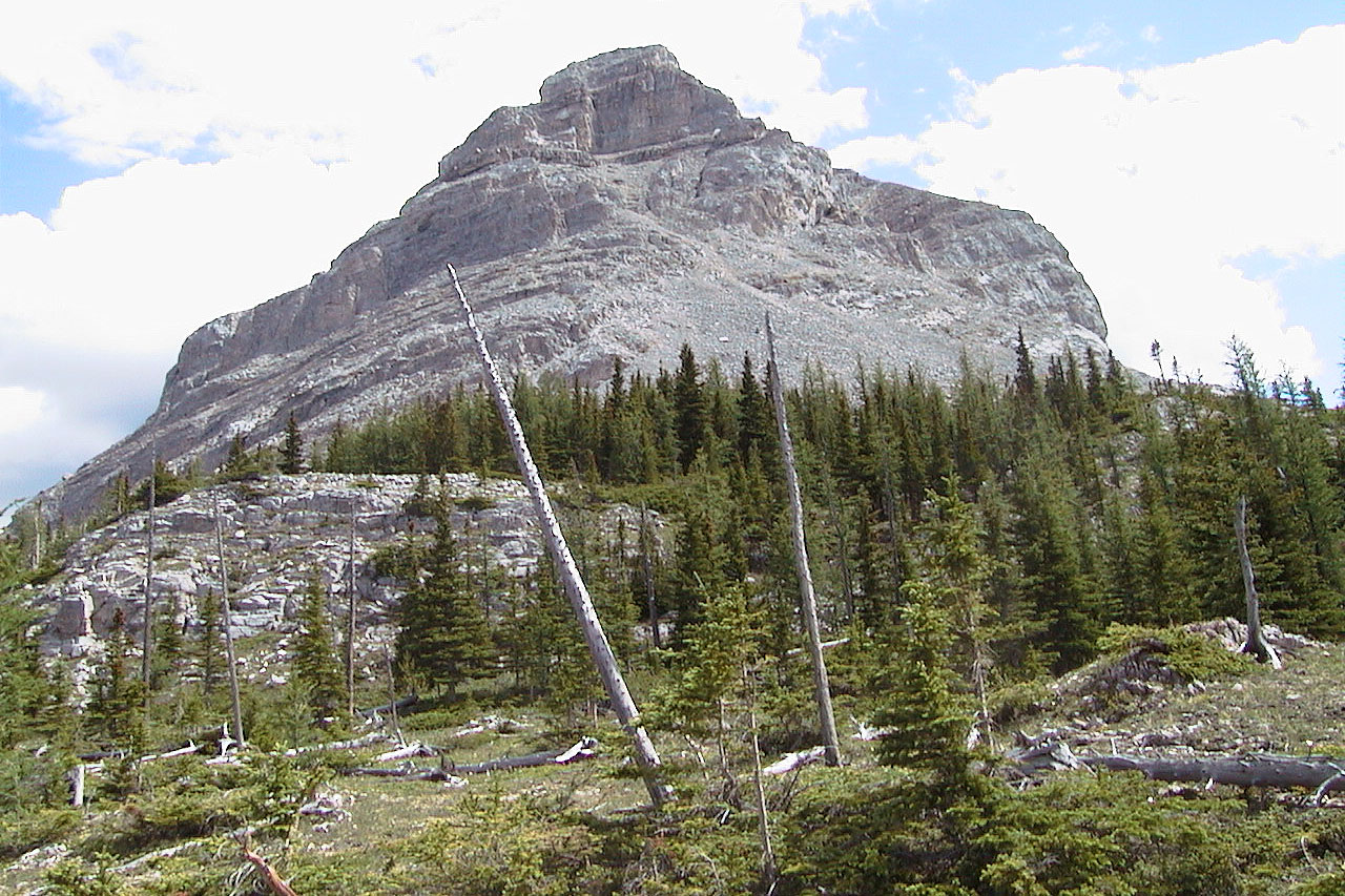
Opal Ridge North Peak
Kananaskis, Alberta
July 21, 2002
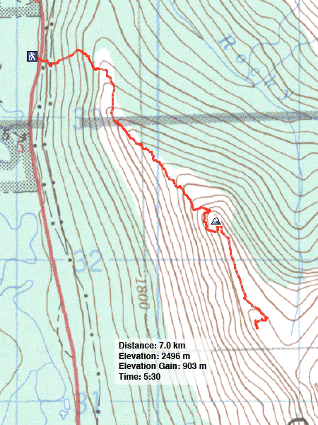
Distance: 7.0 km (4.3 mi)
Cumulative Elevation Gain: 925 m (3035 ft)
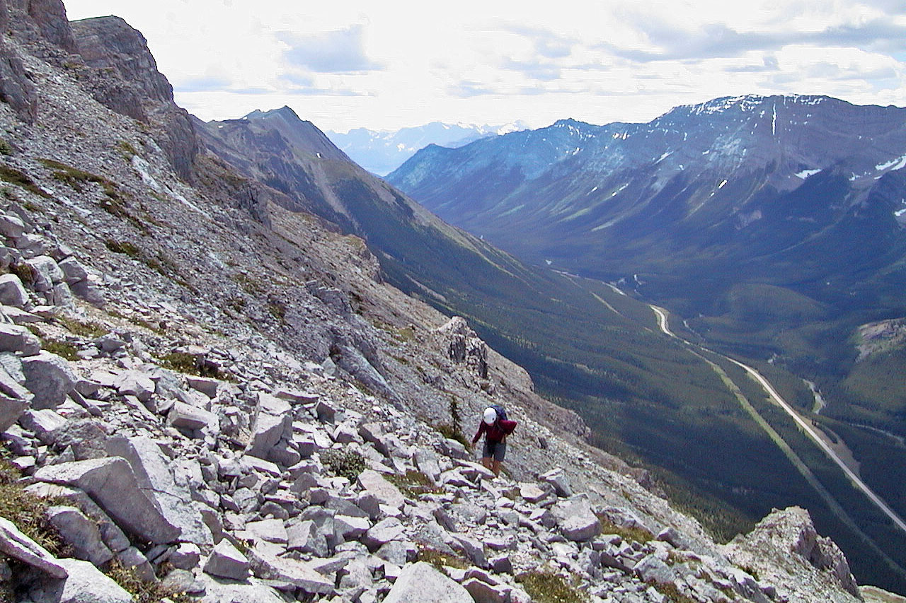
The North Peak is actually the start of a long ridge. Dinah and I parked on the side of Highway 40 and hiked up the steep west slope of Opal Ridge. After that, it was a matter of following the ridge south to the summit.
The North Peak, according to my GPS receiver, sits at 2416 m and gains 824 m from the trailhead, a trek of 2.6 km from the trailhead. However, it's worth pushing on because of the better views and easy hiking. Dinah and I continued along the ridge to ascend a slightly higher point, 307315, before returning the same way.
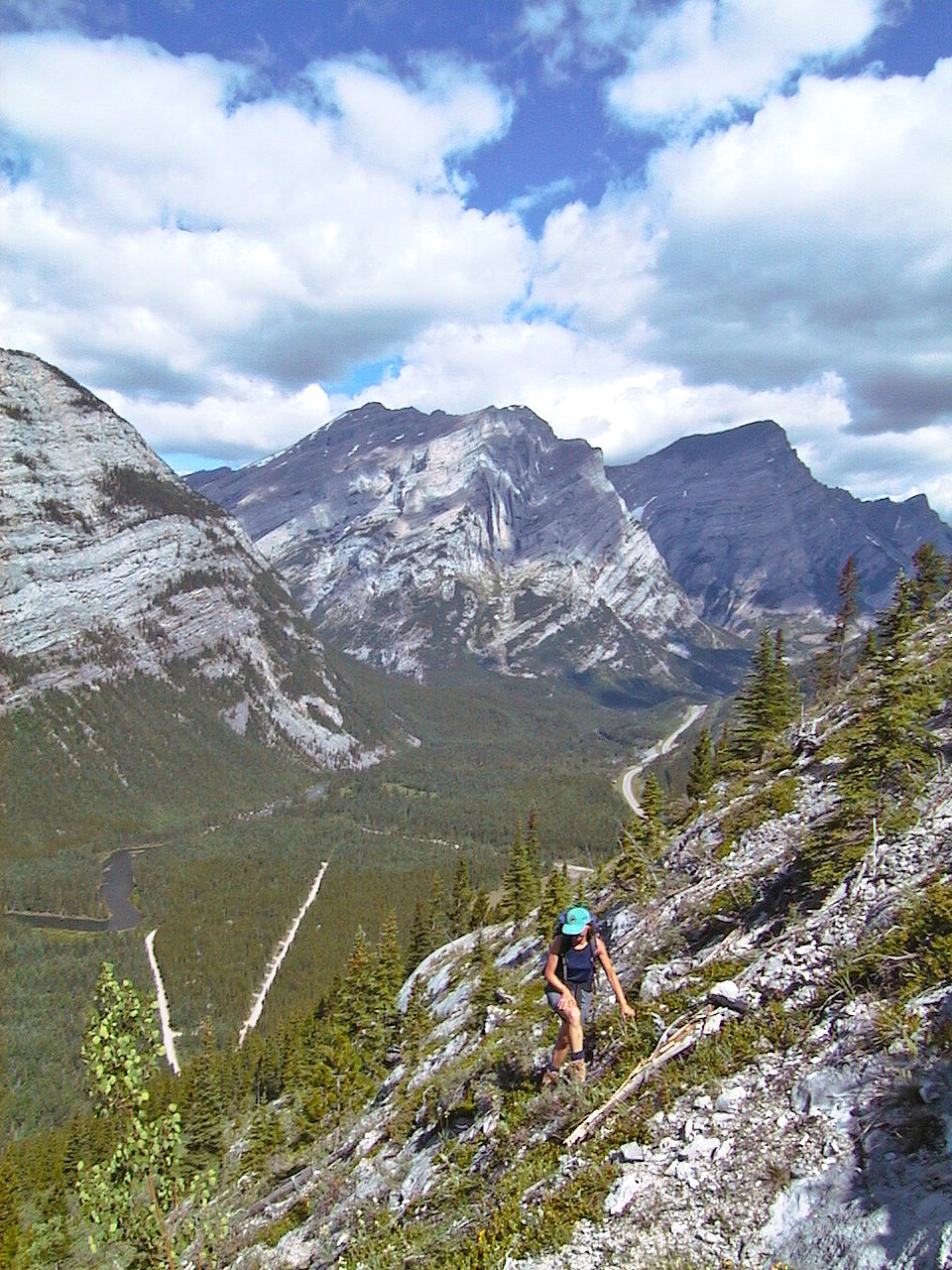
Making our way up the ridge
On the ridge
Nearing the summit
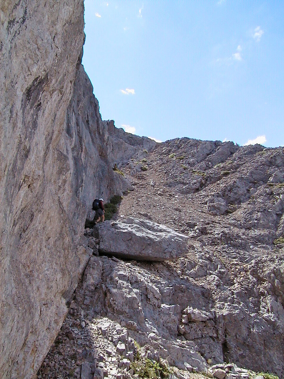
Easy scrambling
Heading to the ridge crest
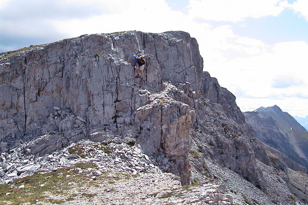
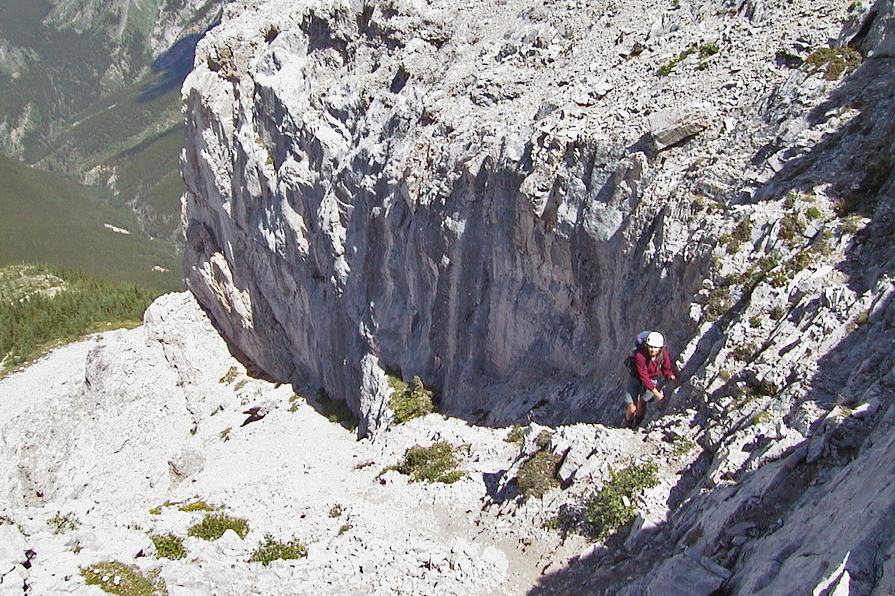
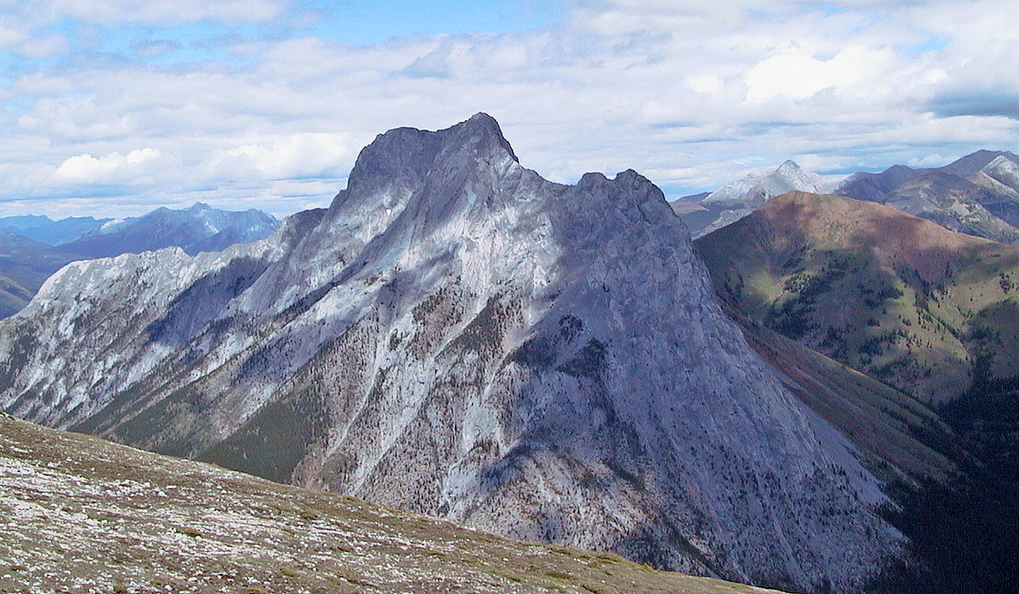
Photo taken from the summit described by Kane. A 3 m
scramble put us on the "highest adjacent point."
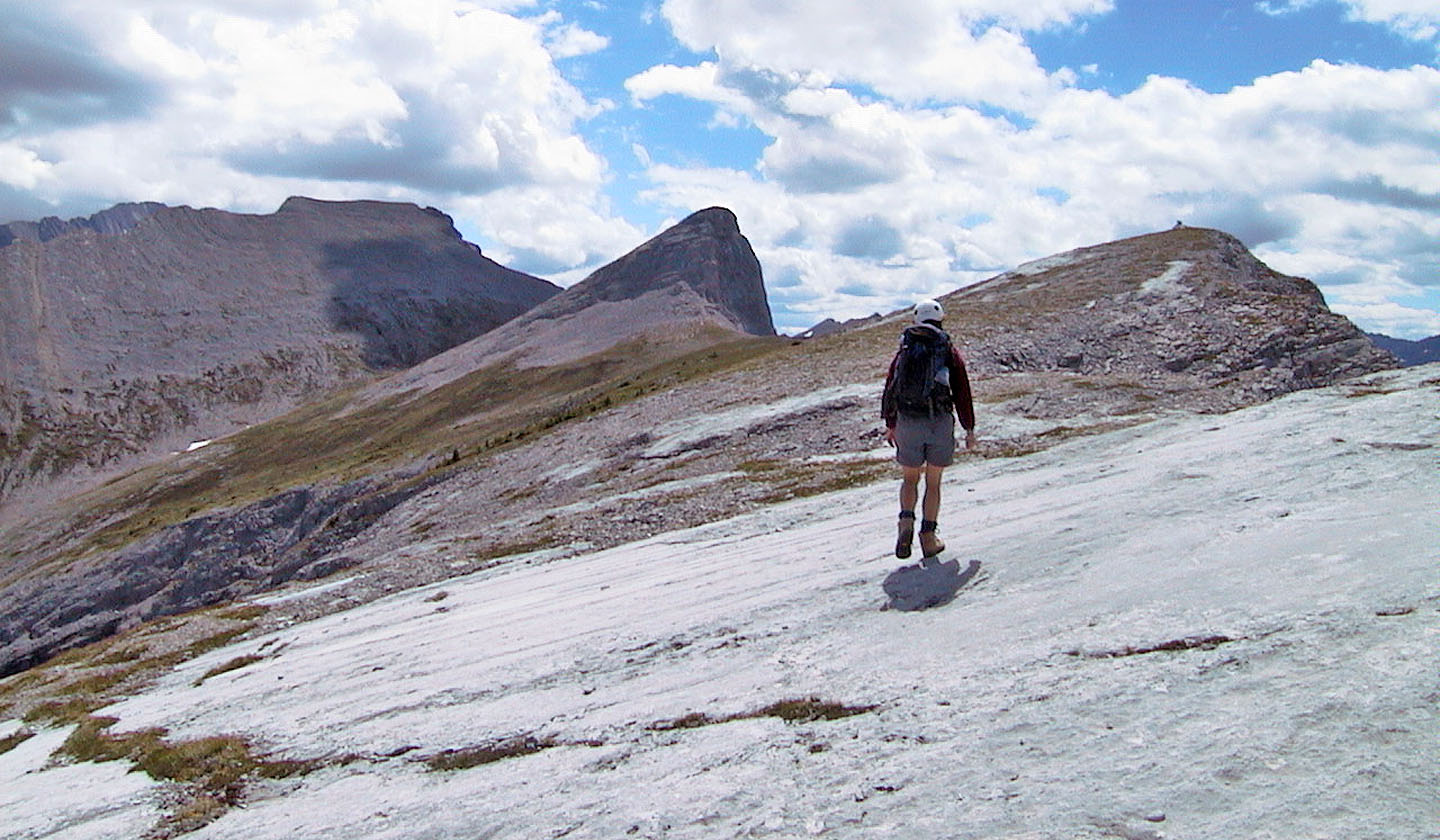
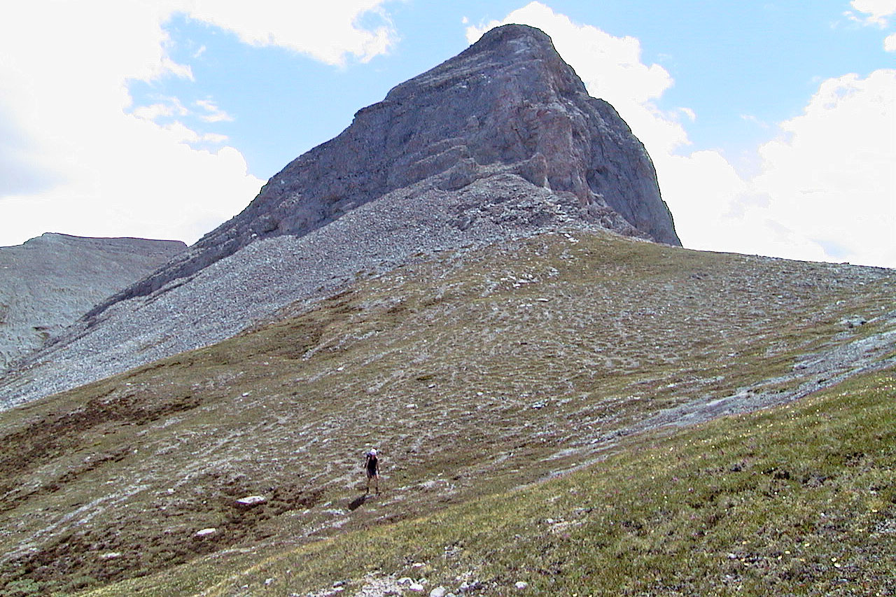
From the North Peak we continued on and climbed the point in the centre
Looking north at The Wedge
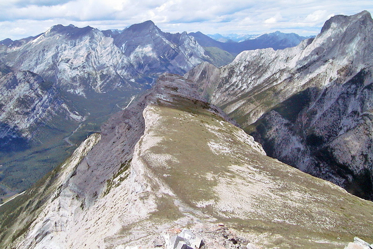
Looking back along the ridge from the high point
Descending from the high point
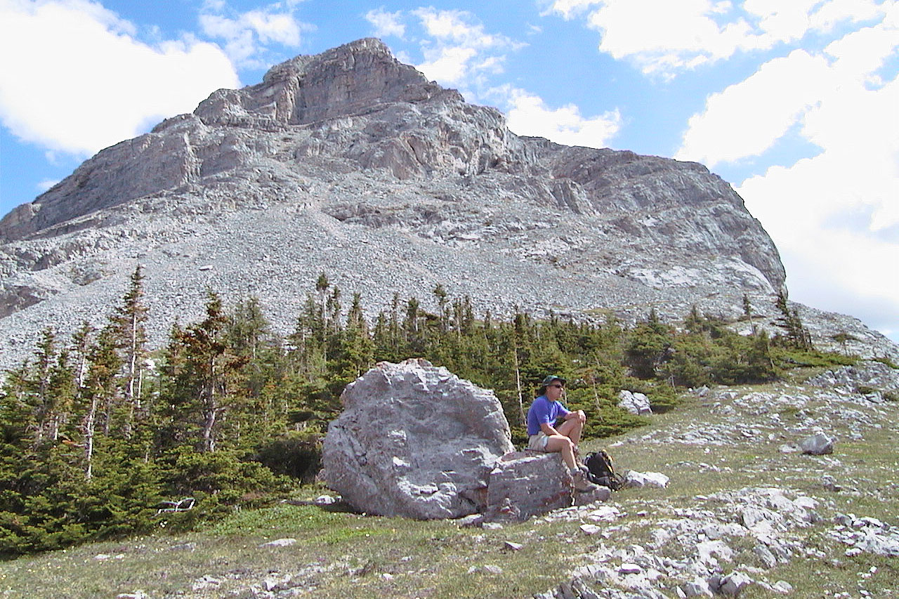
Taking a break below the summit on the way down
82 J/14 Spray Lakes