bobspirko.ca | Home | Canada Trips | US Trips | Hiking | Snowshoeing | MAP | About
Mount Bogart
Kananaskis, Alberta
July 14, 2006
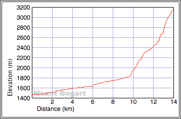
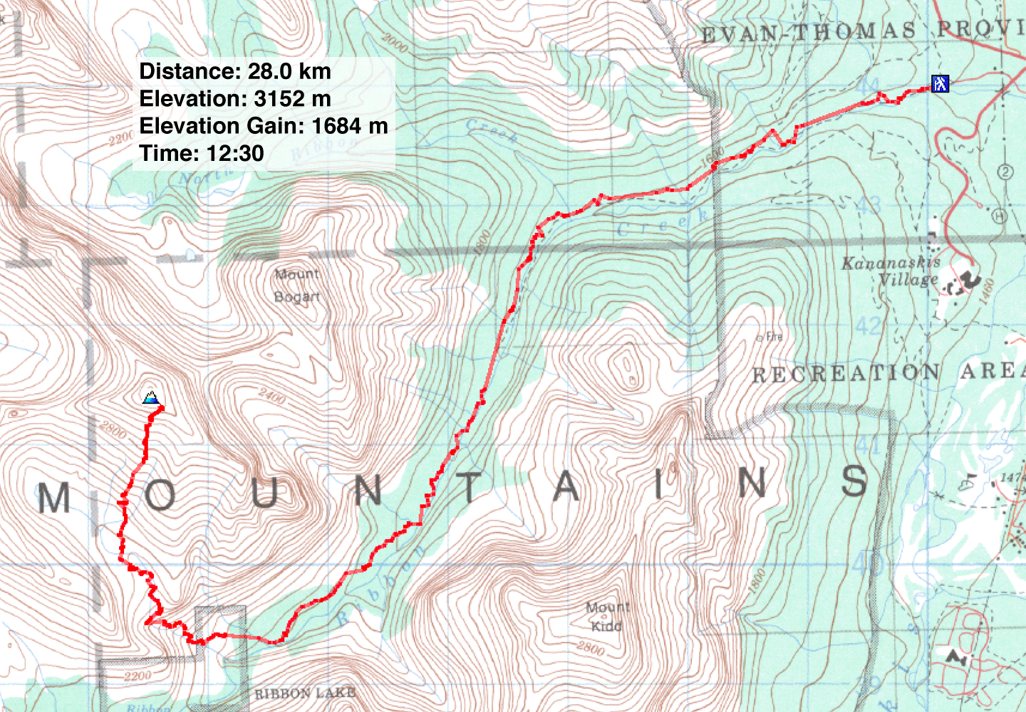
Distance: 28.0 km (17.4 mi)
Cumulative Elevation Gain: 1816 m (5958 ft)
We all had reasons for climbing Mount Bogart. For Dinah and I, it was another tick in Kane's Scrambles book. For Phil, it was another tick on his list of peaks seen from Calgary. As for Caroline, she had wanted to climb it after viewing it repeatedly from the Nakiska's chairlift.
The approach is long and uninspiring, so our small group passed the time with conversation. Except for encountering showers, we reached Ribbon Falls without incident. After the falls, the trail steepens, crosses a rock slide, and reaches the ascent drainage. (The book says it's 11 km to the falls, but our GPS receivers indicated 10 km to the drainage.)
To reach the green slope from the trail, we had to hike up a grass slope, scramble up exposed cliff bands and then cross the drainage to the left side. After hiking up the green slope, we came to a ledge that leads to a basin. The basin was surprisingly cold and windy. We immediately sought shelter behind a pile of boulders, but our actions frightened a marmot into its den. After a long break, we set off for the summit. Long breaks would stretch our trip time well beyond the suggested book time.
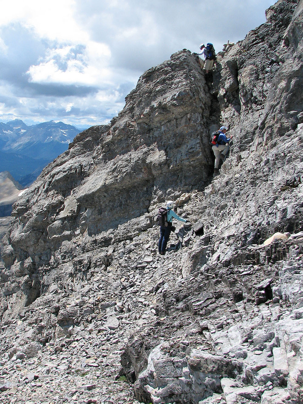
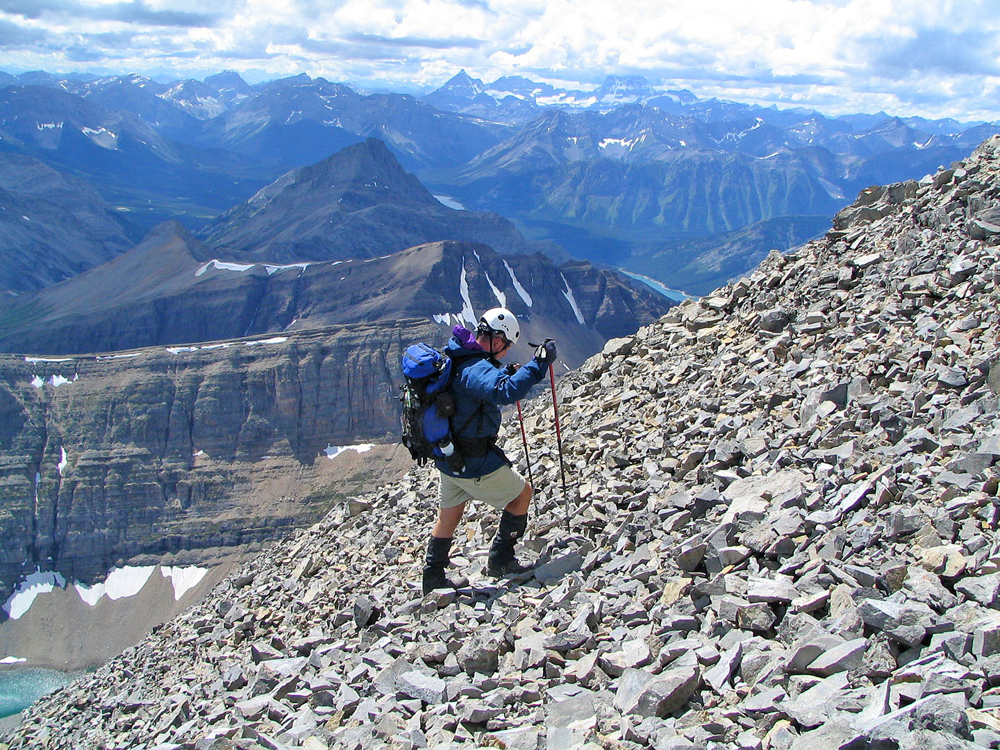
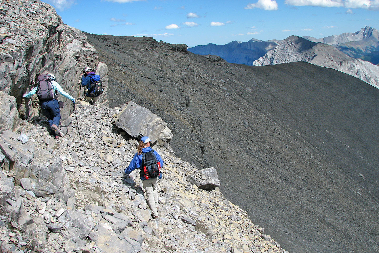
Following the route in Kane's photo, we went up the left side of the gully. It was mostly scree, but some solid rock offered a reprieve from the slog. Above the scree, Mount Bogart displays a complex of cliff bands. However, one landmark does stand out: a round buttress. The gully, Kane's crux, is just right of this buttress.
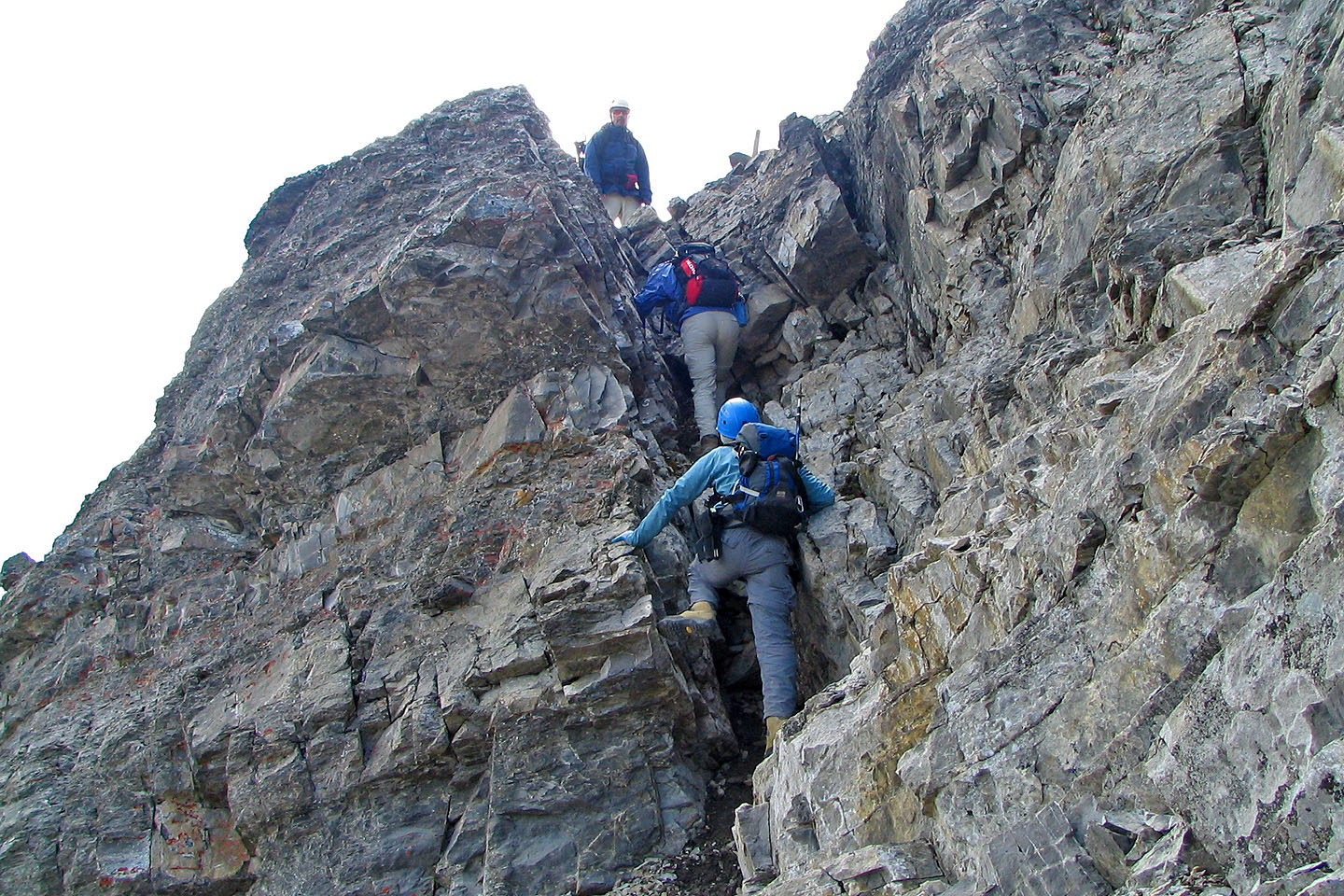
After scrambling up, we reached the bottom of the gully only to find water flowing down it. When dry, this gully would probably be fine to ascend, but we didn't want to try it wet. After searching, we noticed a cairn on top of a chimney left of the gully. It was the alternative route, albeit a difficult scramble. After ascending the chimney, we hiked to the summit.
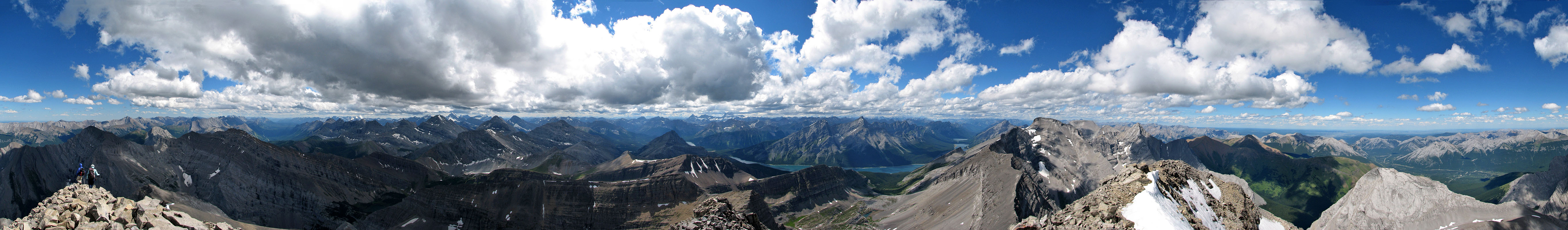
We spent a half an hour on the summit enjoying the vista. If it hadn't been so cold and windy, we would have stayed longer. We retraced our steps back to the scree slope.
On the descent, we again stayed west of the drainage but strayed farther away where we found good scree that took us quickly down to the basin. After a break at the boulder pile, we made our way to the trail.
The long day and the long hike back on the trail took its toll. By the time we reached Phil's truck everyone was complaining about having sore feet.
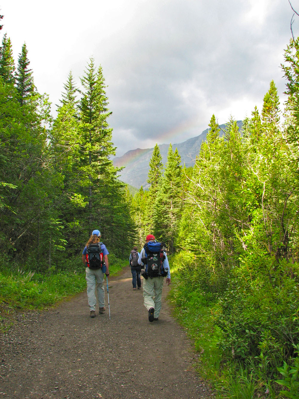
We started down the trail under cloudy skies
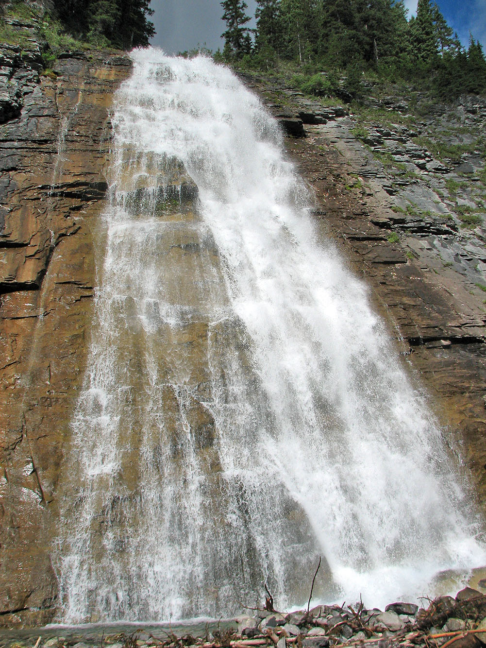
Ribbon Creek Falls
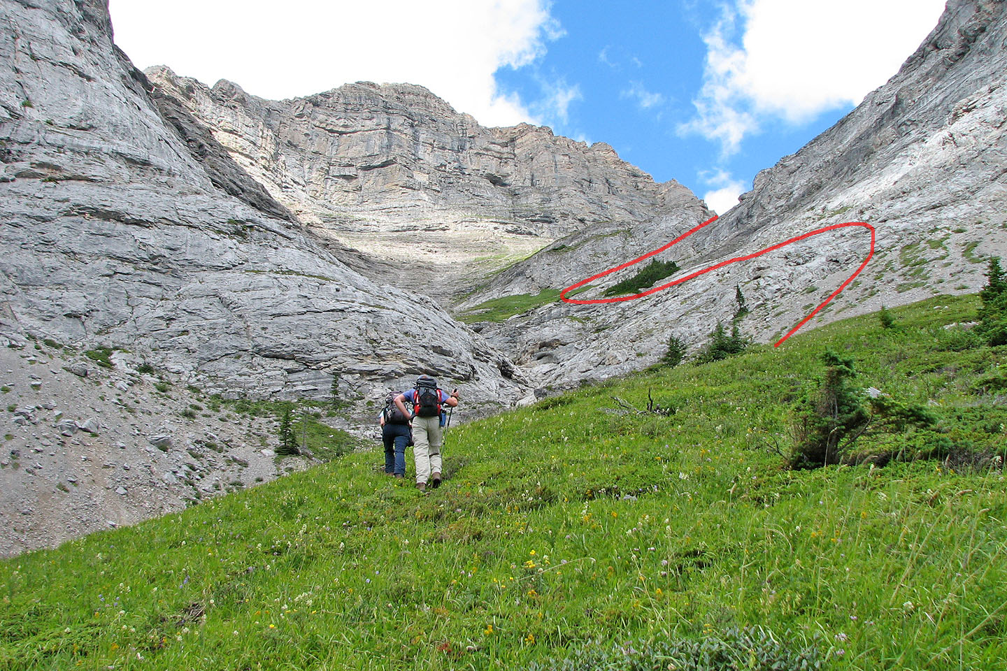
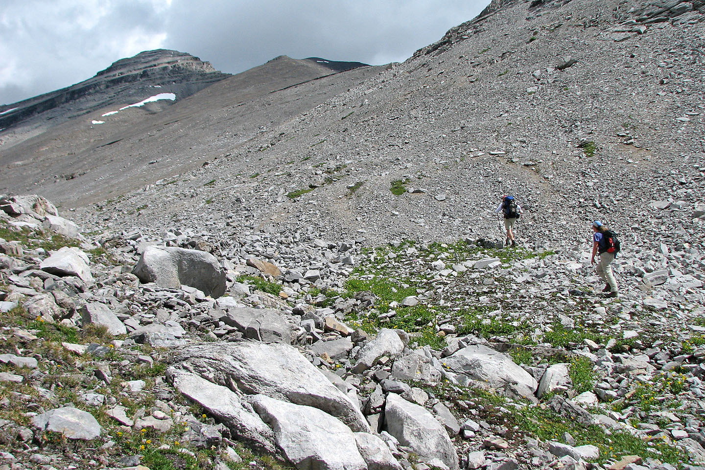
Our route: there is a faint trail in the rocks but we missed it on our ascent
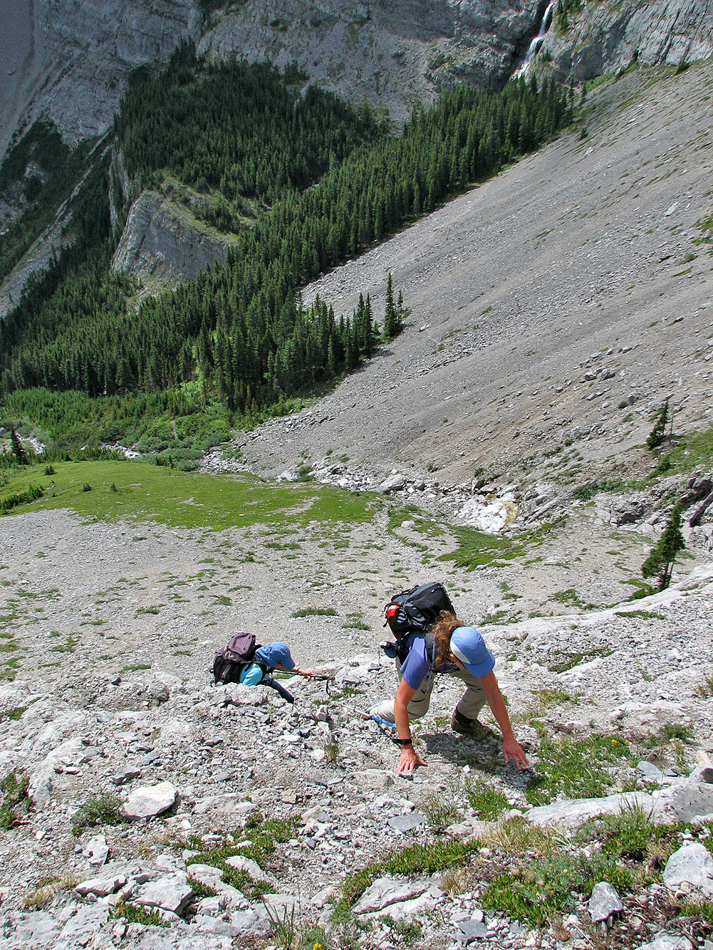
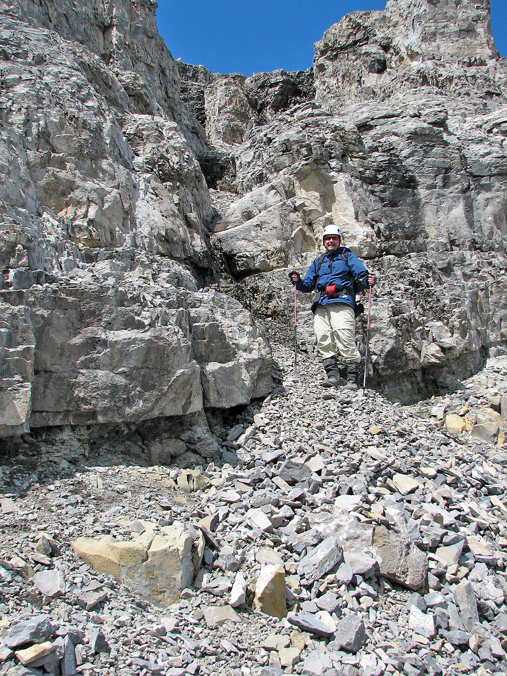
The exposed scrambling at the start was unavoidable
We could have avoided this section by traversing left to the green slope
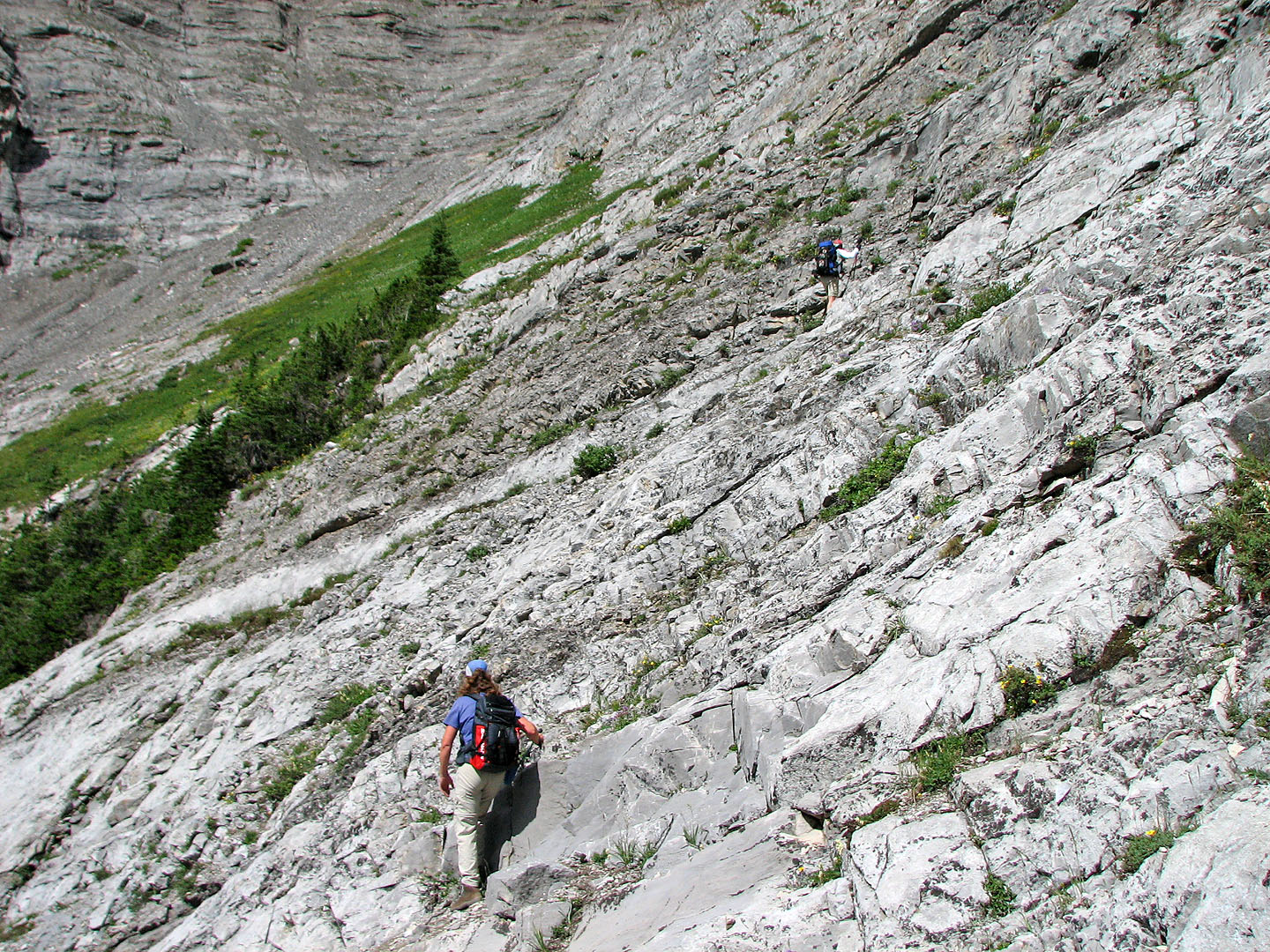
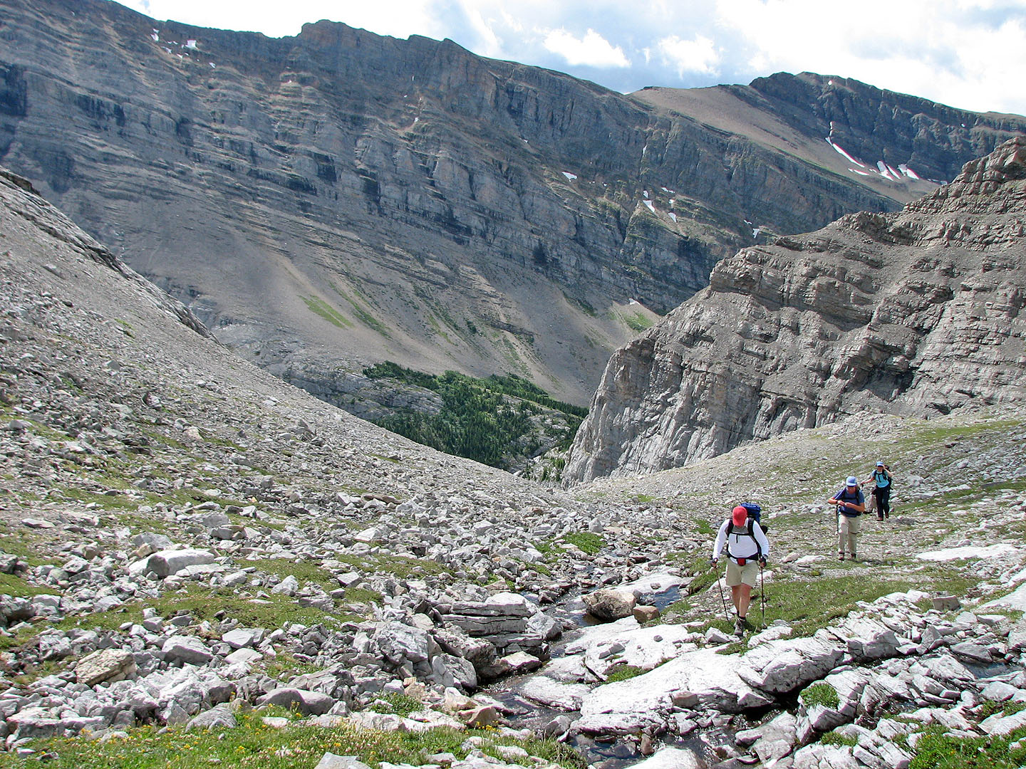
This ledge leads to the basin
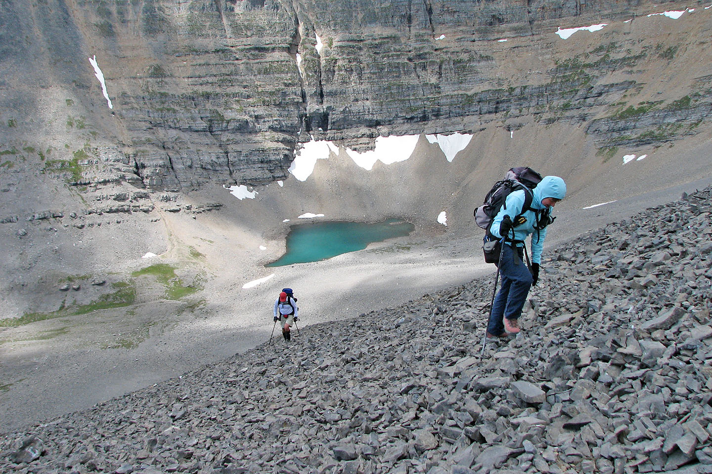
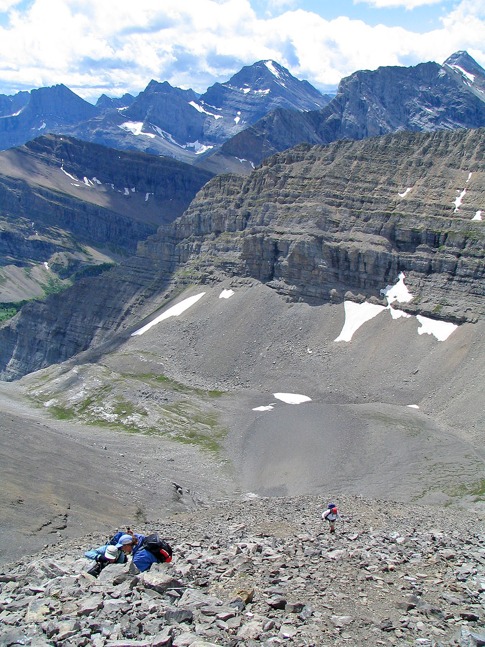
We reached the edge of the basin
Looking back
Heading deeper into the basin
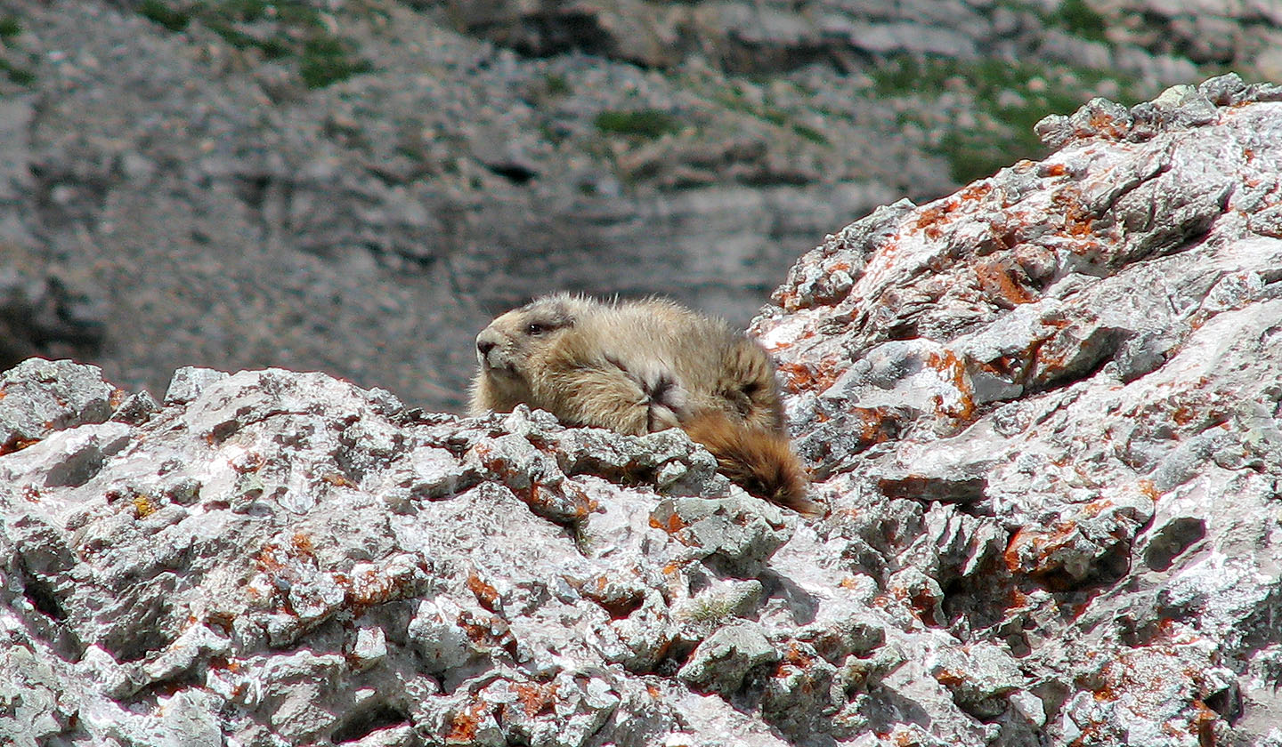
The wind ruffles the fur of a resident marmot
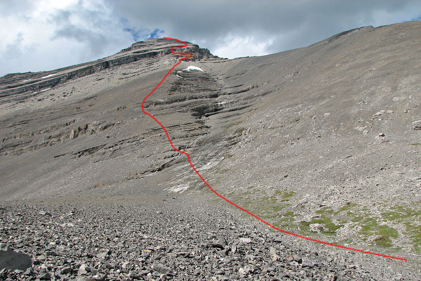
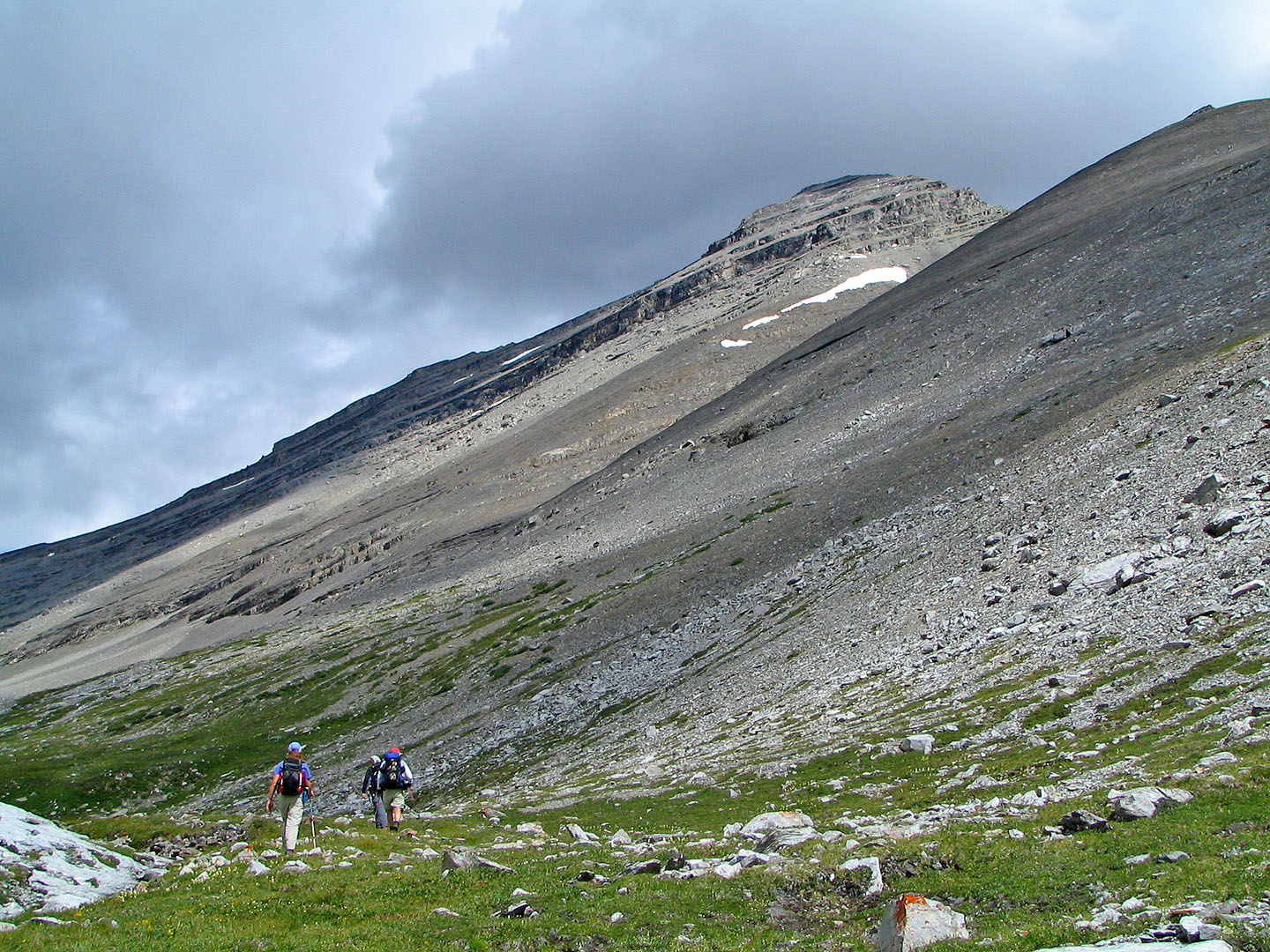
Our route from the basin
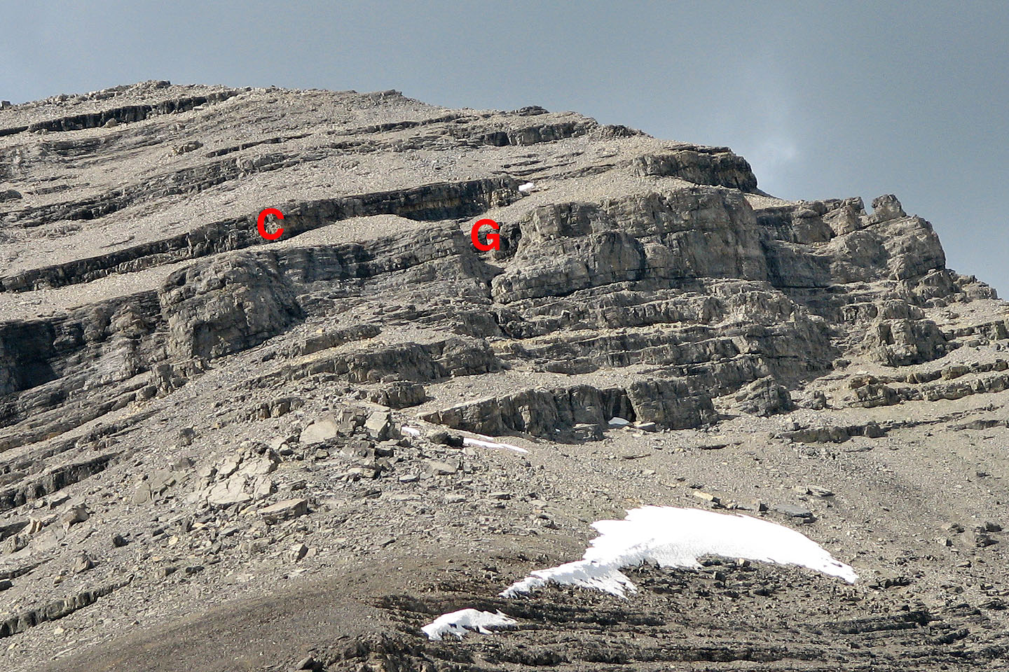
A close look at the chimney and gully
The long trudge up the slope
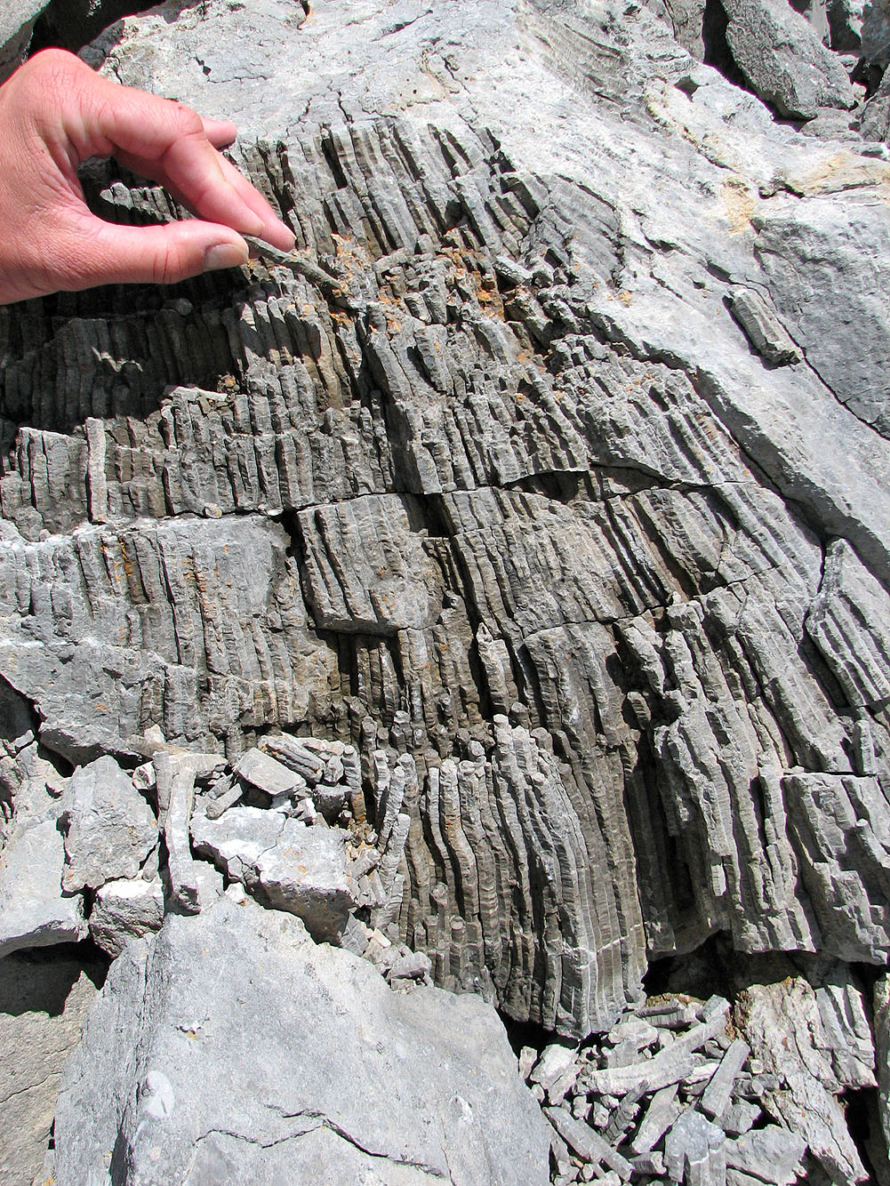
Some fossils we found on the way up
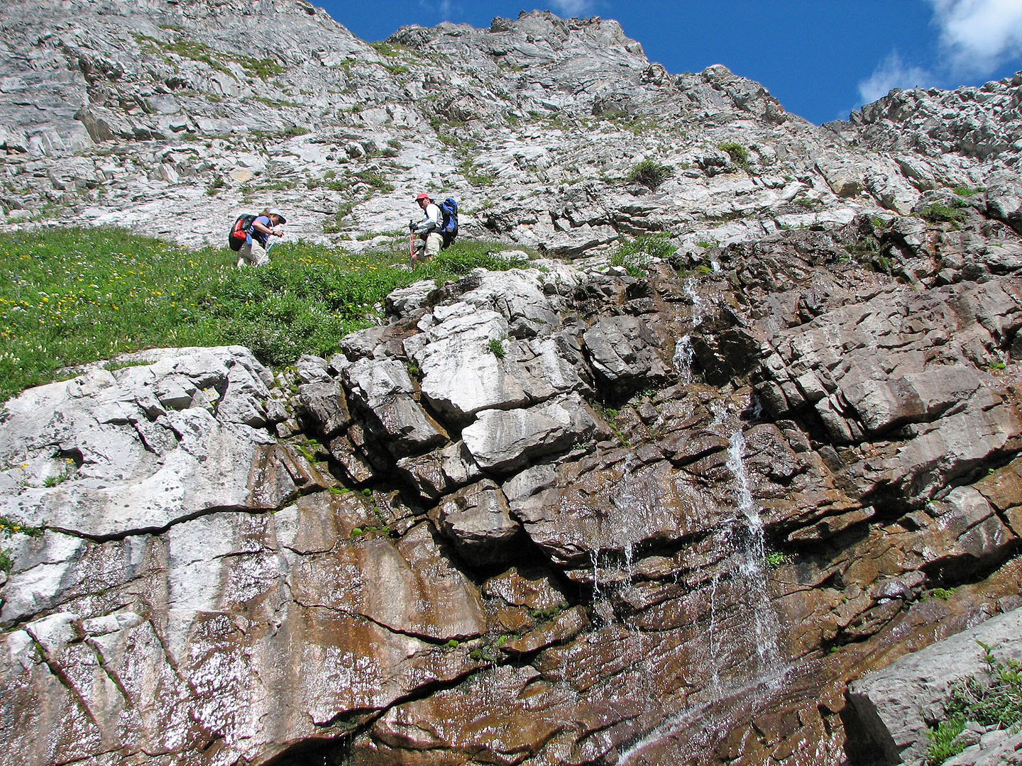
High above the basin
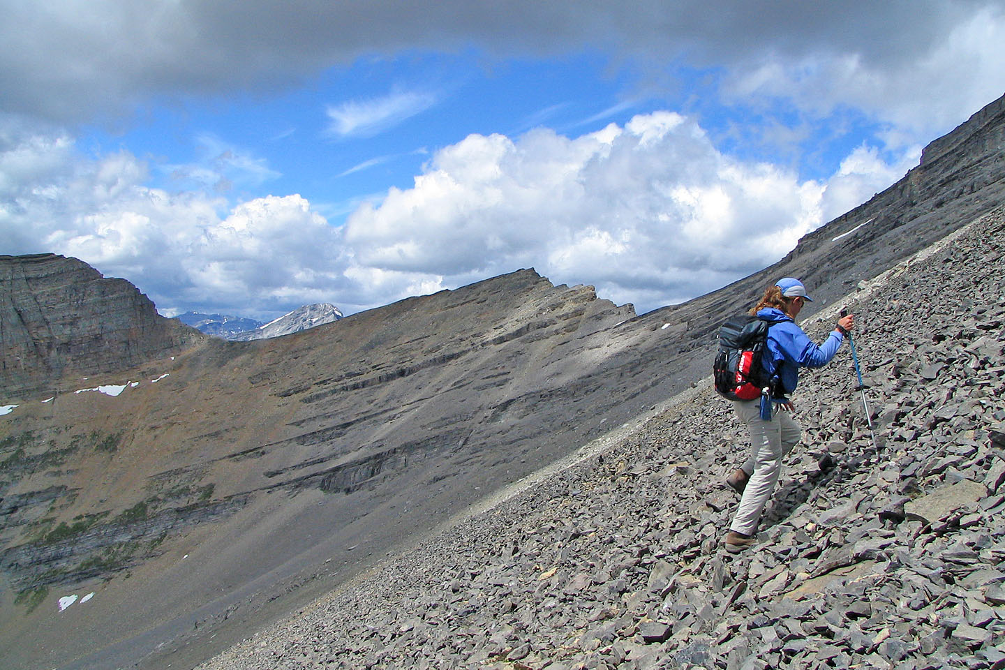
On our left, the west ridge of Mount Bogart
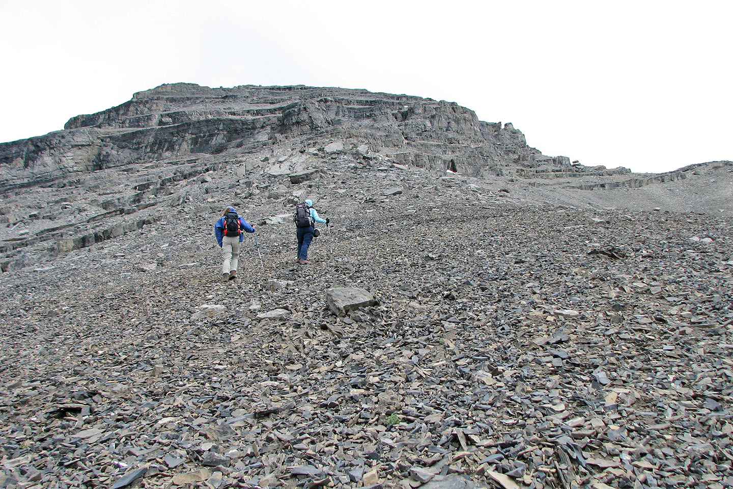
The scree finally gives way to solid rock
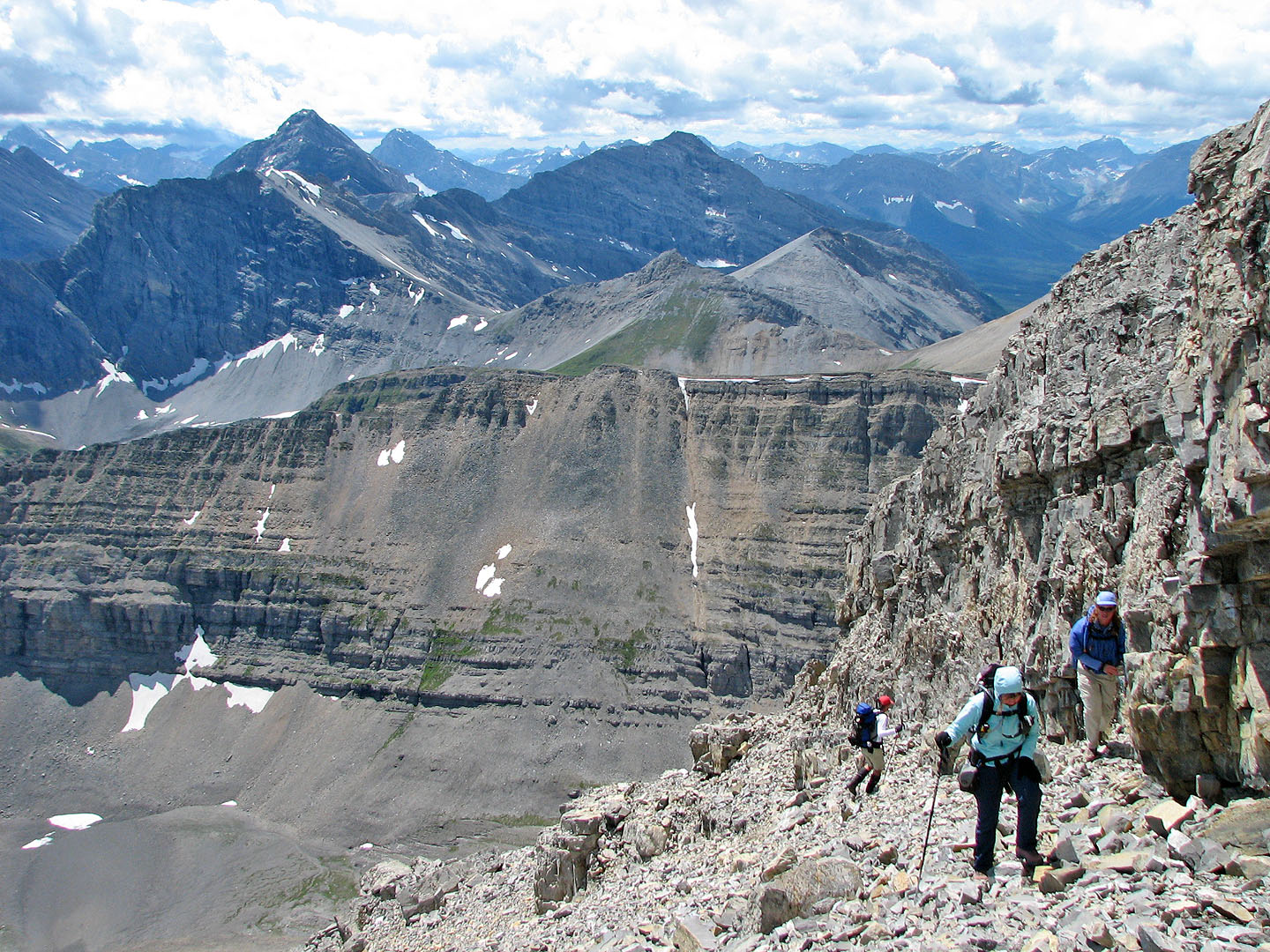
Following a rock band to reach the gully
We didn't attempt this gully because of flowing water
Instead we scrambled up the chimney by the buttress
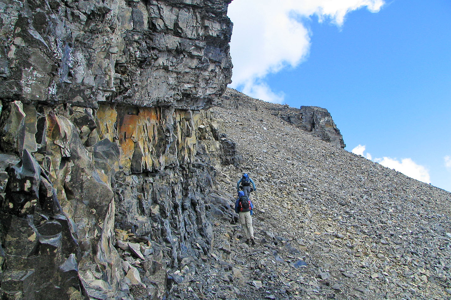
Skirting the rock band above the chimney
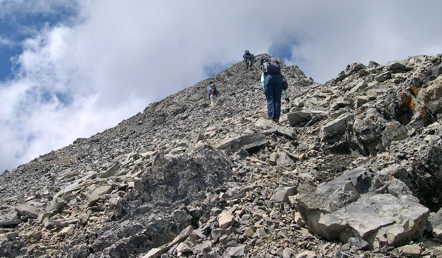
Minutes away from the summit
Mount Bogart is one of the highest peaks in the area
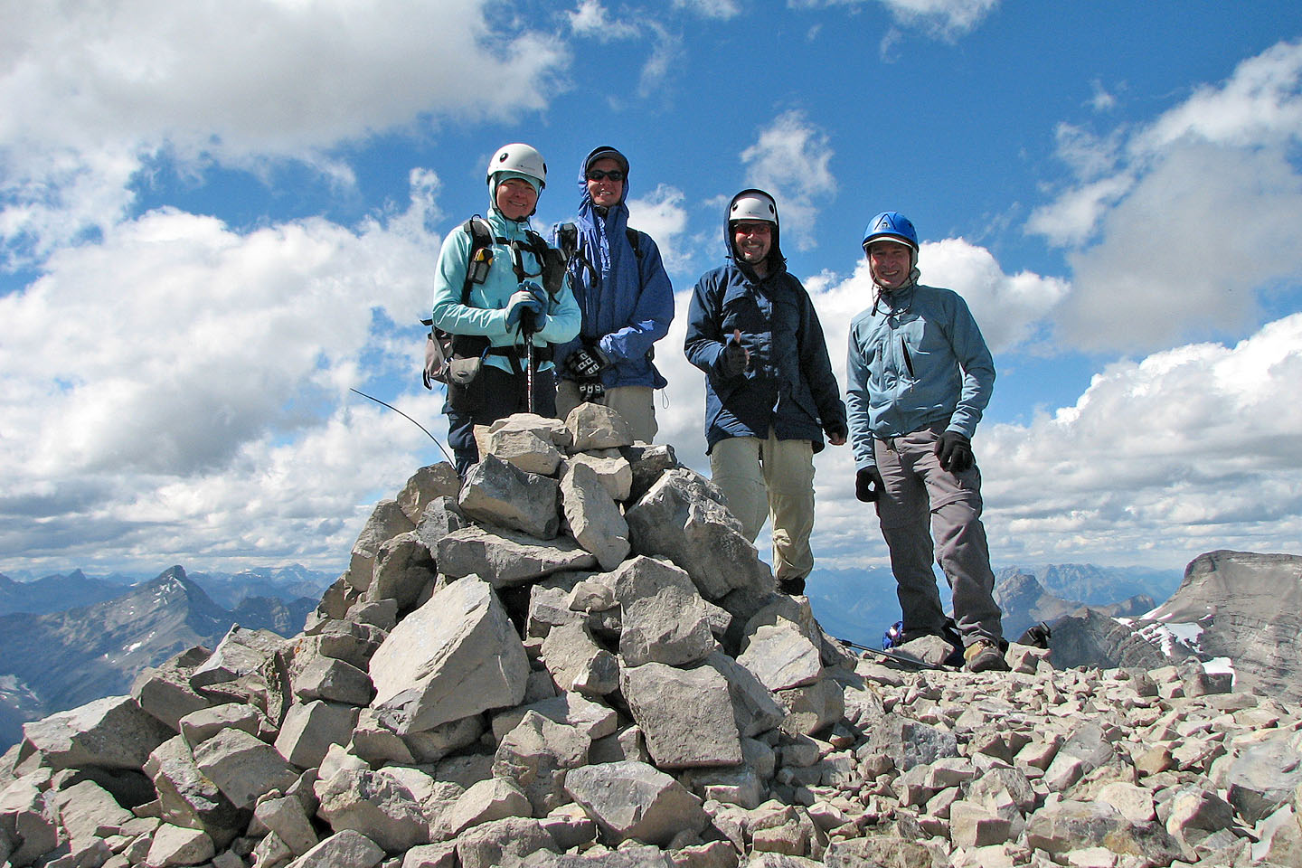
It was cold and windy on the summit
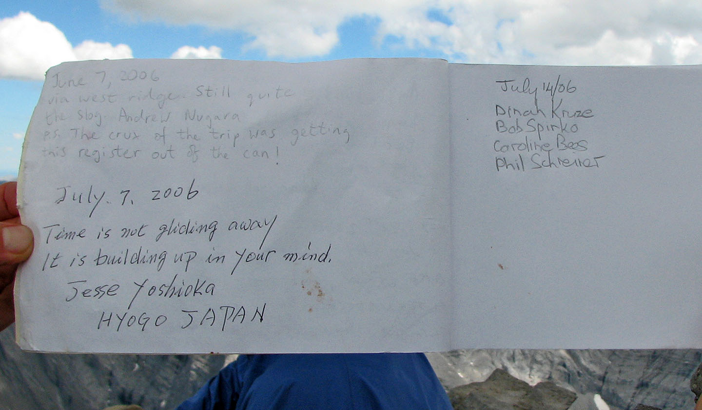
A couple of interesting entries before us. (We had trouble removing the oversized register too.)
Assisting Caroline down the chimney (mouse over to see the down view)
Heading back down to the basin

Some fossils
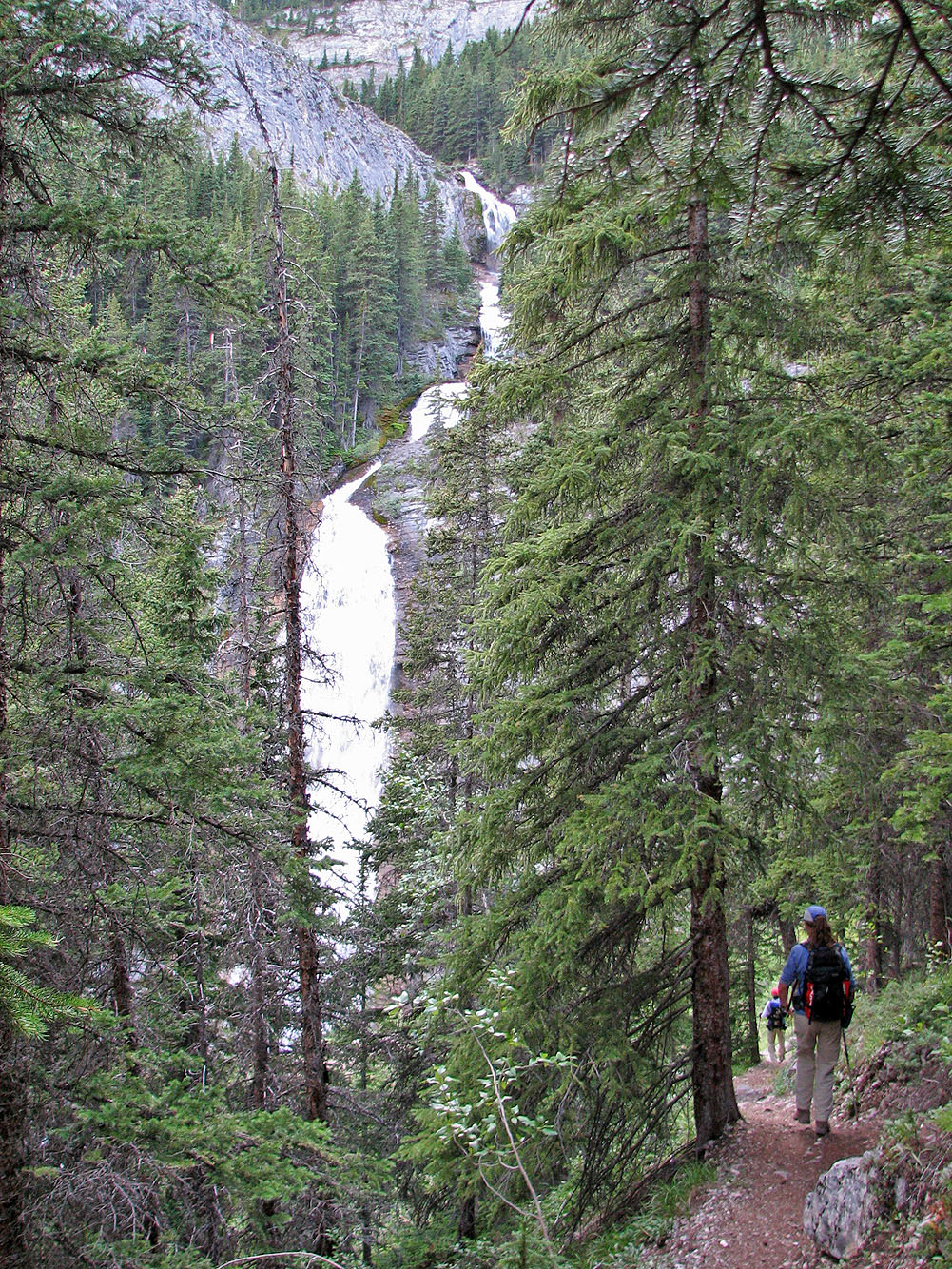
Back at Ribbon Falls
82 J/14 Spray Lakes