bobspirko.ca | Home | Canada Trips | US Trips | Hiking | Snowshoeing | MAP | About
Mount Norquay
Banff National Park, Alberta
August 29, 2005
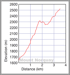
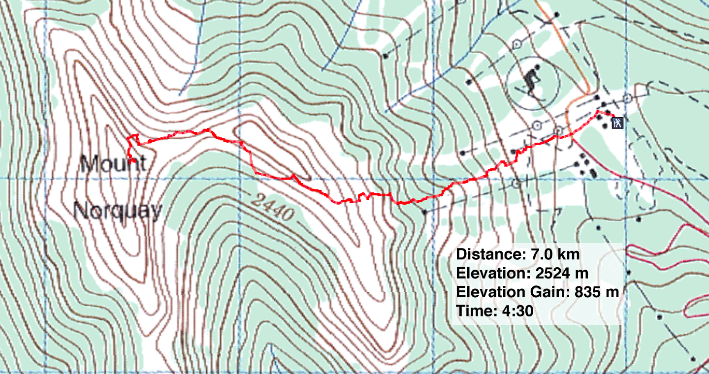
Distance: 7.0 km (4.3 mi)
Cumulative Elevation Gain: 980 m (3215 ft)
Bagging Mount Norquay proved to be a much quicker trip than Kane suggests. It took me 2:40 to ascend and 1:35 to descend. Also, according to my GPS the elevation gain is shorter by nearly 200 m. Map contour lines bear this out. Unfortunately, I had forgotten to put a memory card in my camera. However, my camera had some memory and with careful use, including reducing the image size of my photos, I think I was able to take all the pertinent photos.
After hiking up the ski hill I decided to try the steep rock wall behind the lift station. According to Kane, this wall is as "equally tricky" as the crux below the east summit. But the wall proved to be more difficult than it looked. It wasn't bad at first, but higher up there seemed to be fewer and smaller handholds. On the final section, I was forced to use two-finger holds, and there was virtually nothing for my hiking boots to grab.
After scrambling up the wall, I hiked up the steep gully. When I reached the ridge, however, I was buffeted by strong winds. If the crux on the east peak was anything like the steep wall, then I didn't want to be hanging by two fingers in a strong wind! Instead, I took an obvious trail etched into the slope below the east peak.
The trail was crude, and I lost it a couple of times, but it did speed me along to the col between the east and west peaks. From the col, I followed a trail to the west peak.
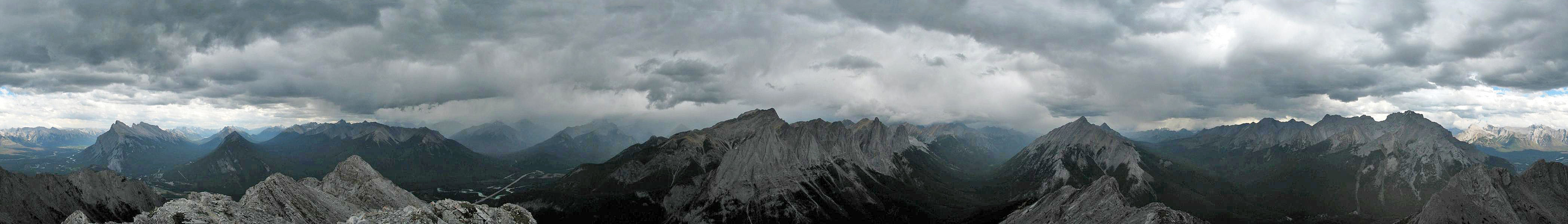
On my ascent, the clouds had been building, and when I reached the top I felt a drop of rain. After taking a panorama and looking around, I headed down. Soon it began to rain; it never let up and chased me all the way back to the car. Retracing my steps from the summit, I soon reached the lift station. This time I avoided the sketchy rock wall and used the trail to the west. When I reached the lift station a thunderclap sounded nearby. Good thing this was a short trip!
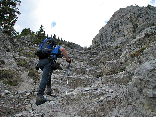
Hiking up the gully
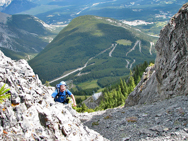
Reaching the ridge from the gully. You can see the roof of the lift station
below.
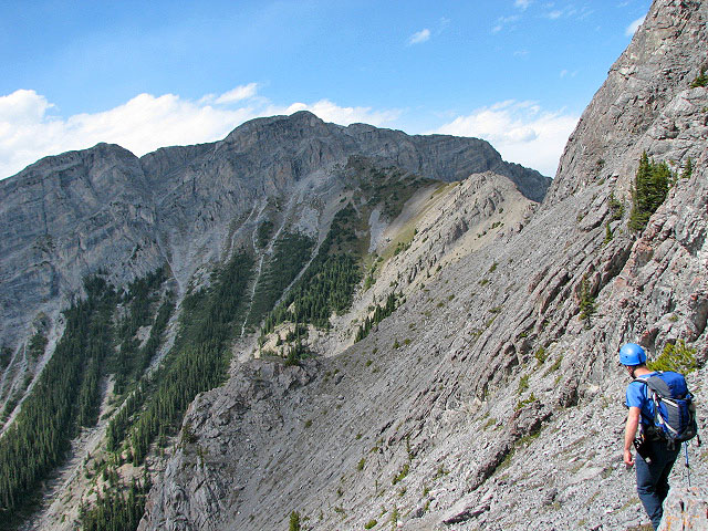
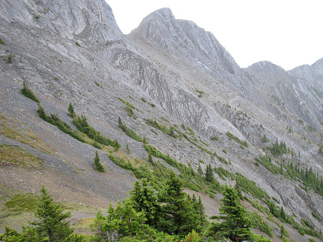
The west peak (centre) seen from the ridge above the ascent gully
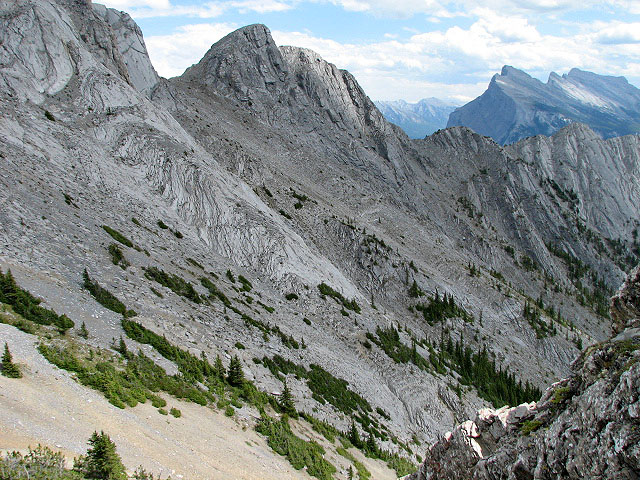
Looking back to where the last photo was taken, Mount Rundle on the right
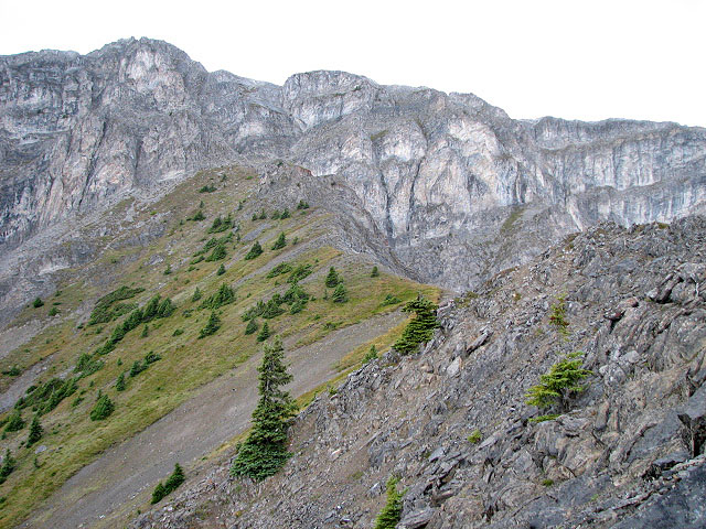
I'll soon be back on the ridge
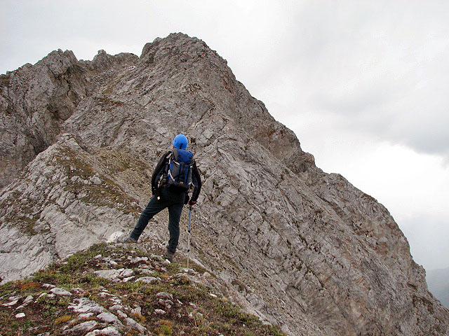
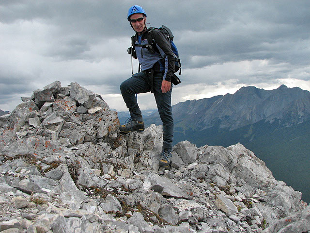
The summit lies ahead
Clouds appear threatening when I reached the summit
Heading back to the ridge above the ascent gully
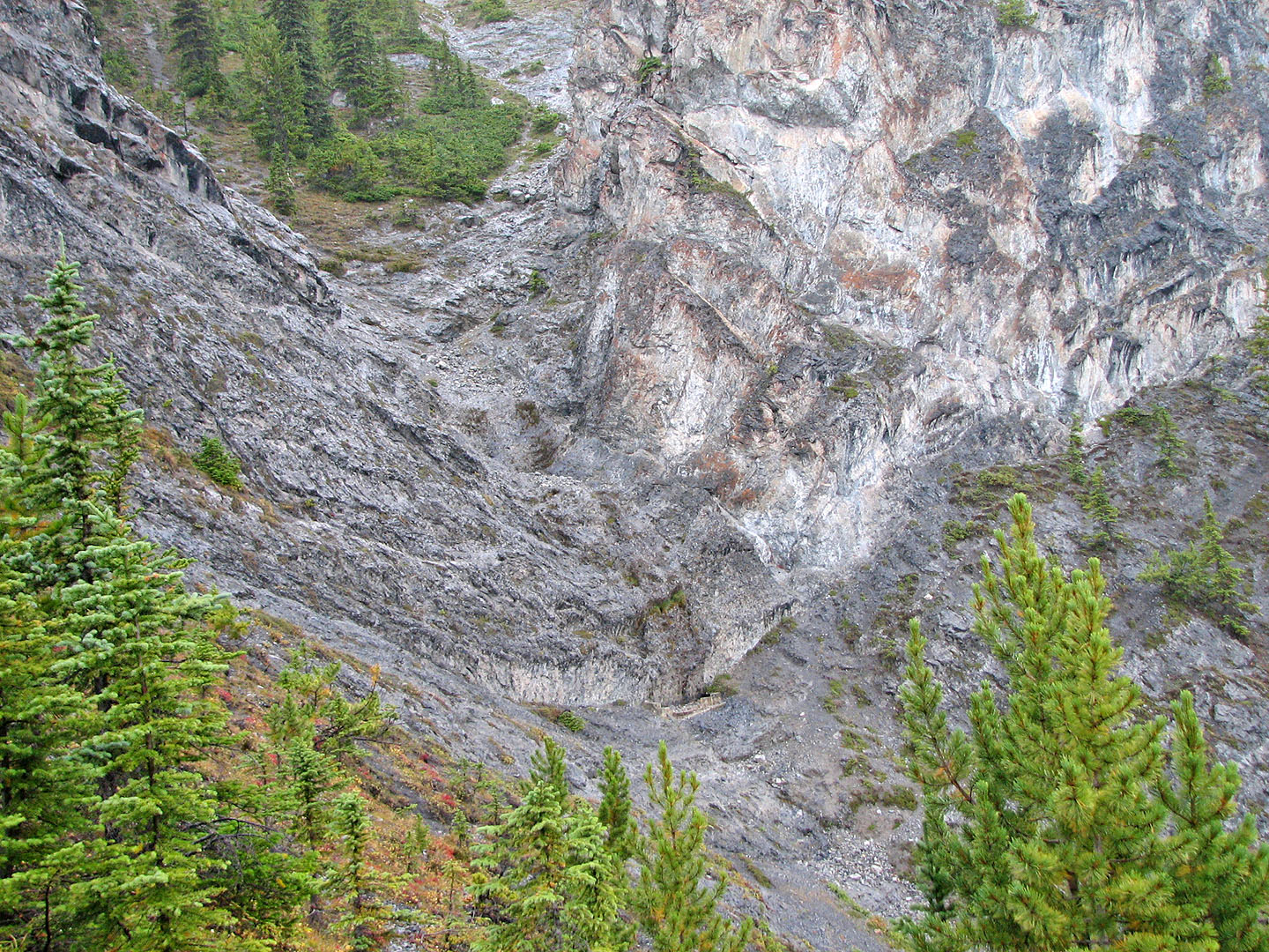
Coming down the trail, I took a photo of the rock wall behind the lift station that I scrambled up
82 O/4 Banff