bobspirko.ca | Home | Canada Trips | US Trips | Hiking | Snowshoeing | MAP | About
Mount Bourgeau
Banff National Park, Alberta
June 28, 2003
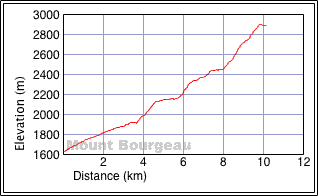
Distance: 22.7 km (14.1 mi)
Cumulative Elevation Gain: 1750 m (5741 ft)
Mount Bourgeau is a long but popular hike. The first 6 km is spent hiking through forest. Other than a bridge, a waterfall and small clearings, there is little to break the monotony of hiking through the forest until you reach Bourgeau Lake.
Since our hike began early in the season, Dinah and I brought along ice axes. Perhaps we didn't need them, but they came in handy when we crossed a snow-covered slope above the lake. We encountered little snow after that.
After the lake, we followed the trail as it runs by charming tarns before reaching Harvey Pass. We continued up a path, although it eventually disappeared. But we hiked easily up the west ridge of Bourgeau. For such a big mountain, the grade is surprisingly gentle.
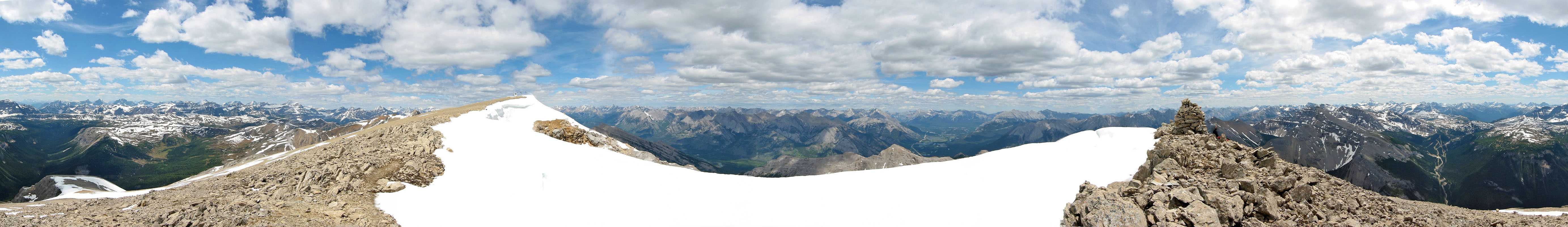
On the summit, a repeater station spoiled the mountain scene, and a tall cornice blocked views to the east. For unobstructed views, we walked southeast to the end of the summit ridge where I took a panorama.
Postscript: In July 2023, Dinah and I returned to hike to Harvey Pass so I added several photos.
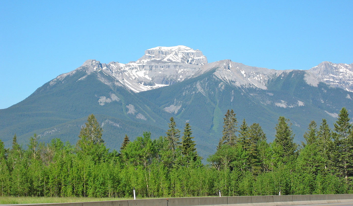
East side of Mount Bourgeau from the Highway 1
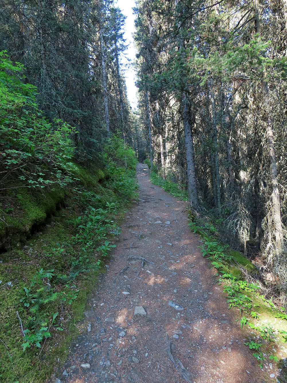
The trail begins broad and smooth
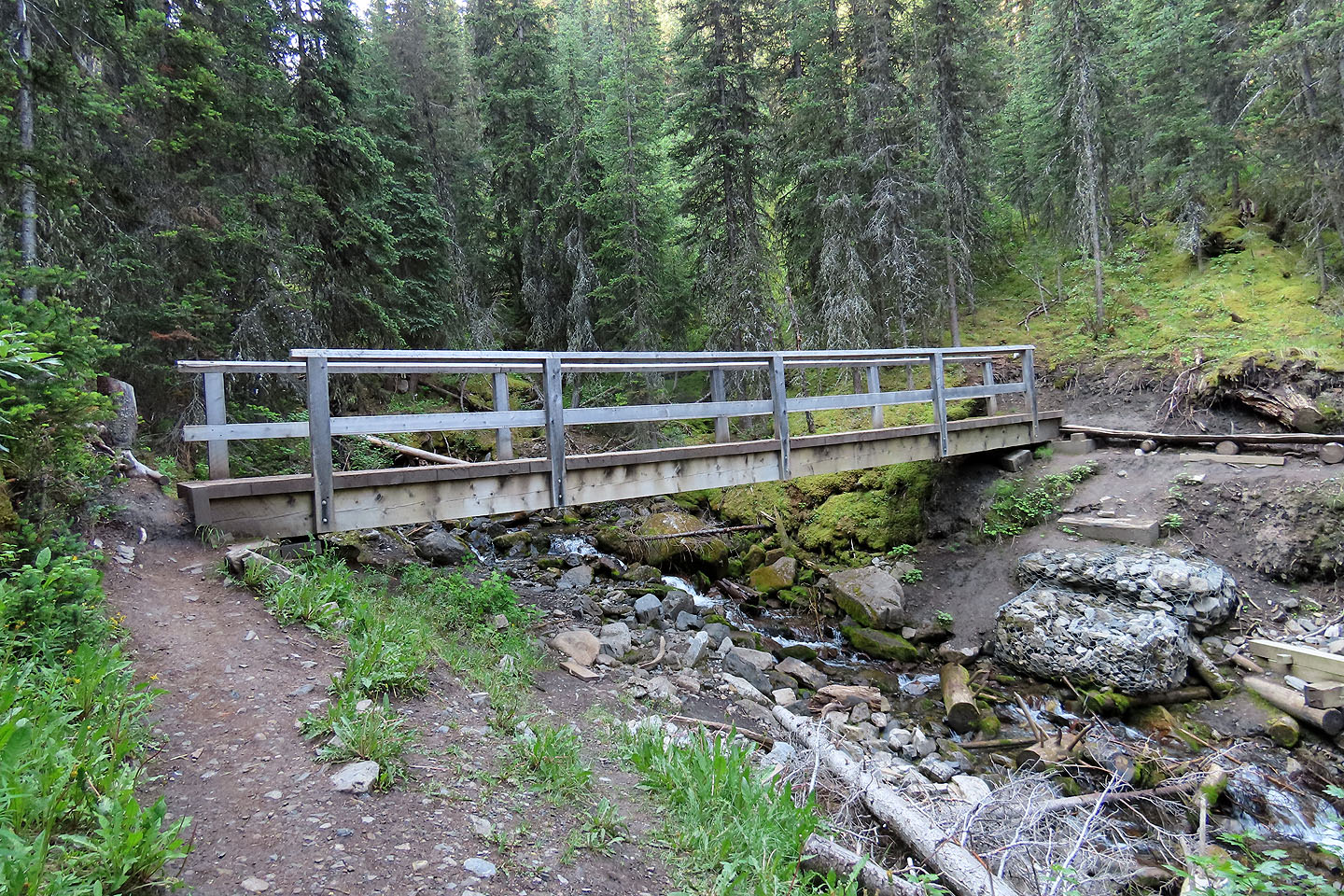
After hiking 3.5 km, we crossed a bridge
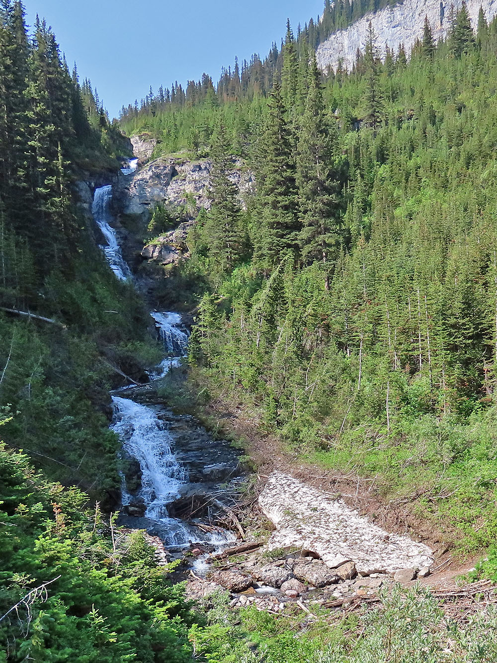
The trail passes a waterfall at 5.4 km
After going up switchbacks and just before reaching the lake, the scenery opens up
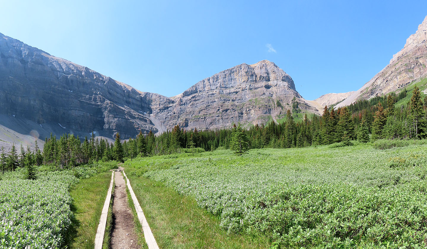
The trail runs through a marshy area, passes the lake and continues up the gap on the right
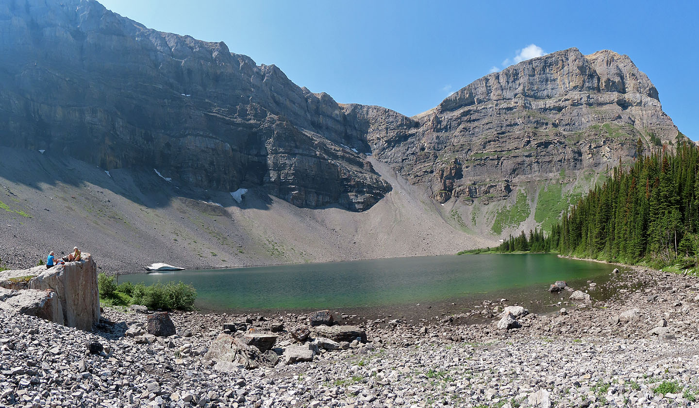
Bourgeau Lake
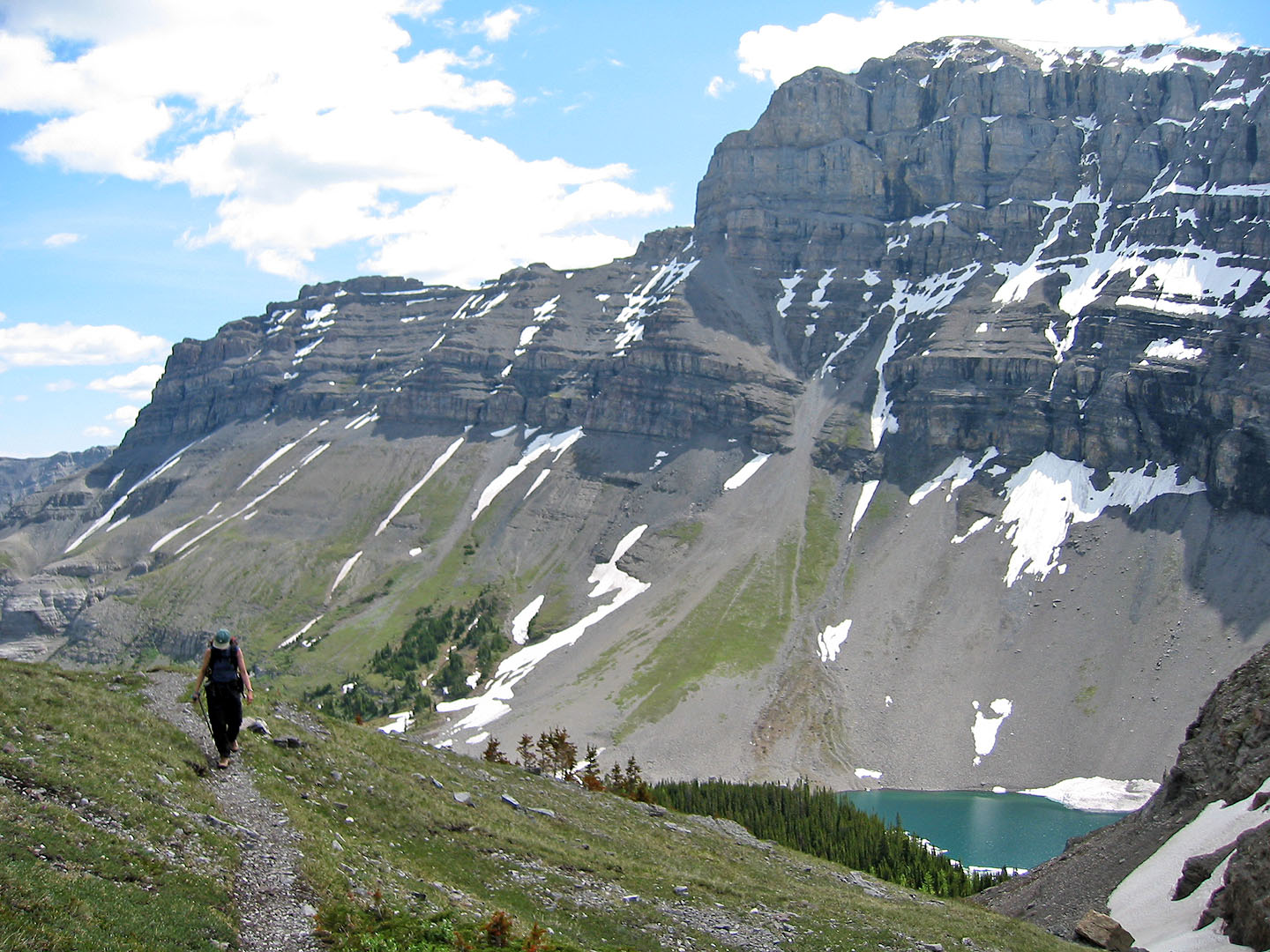
Hiking above the lake
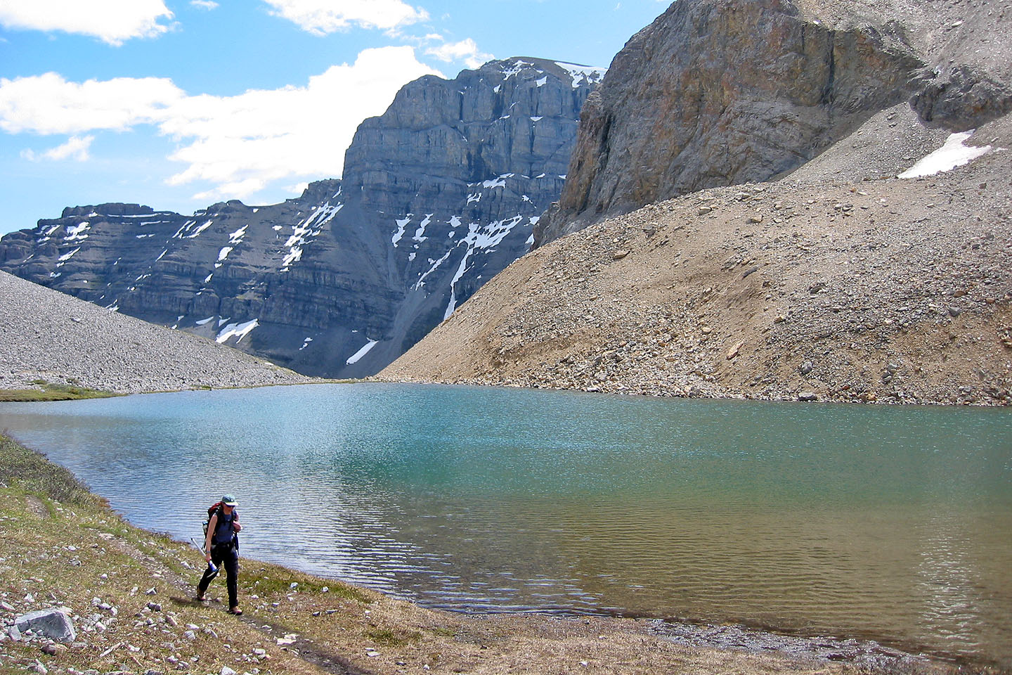
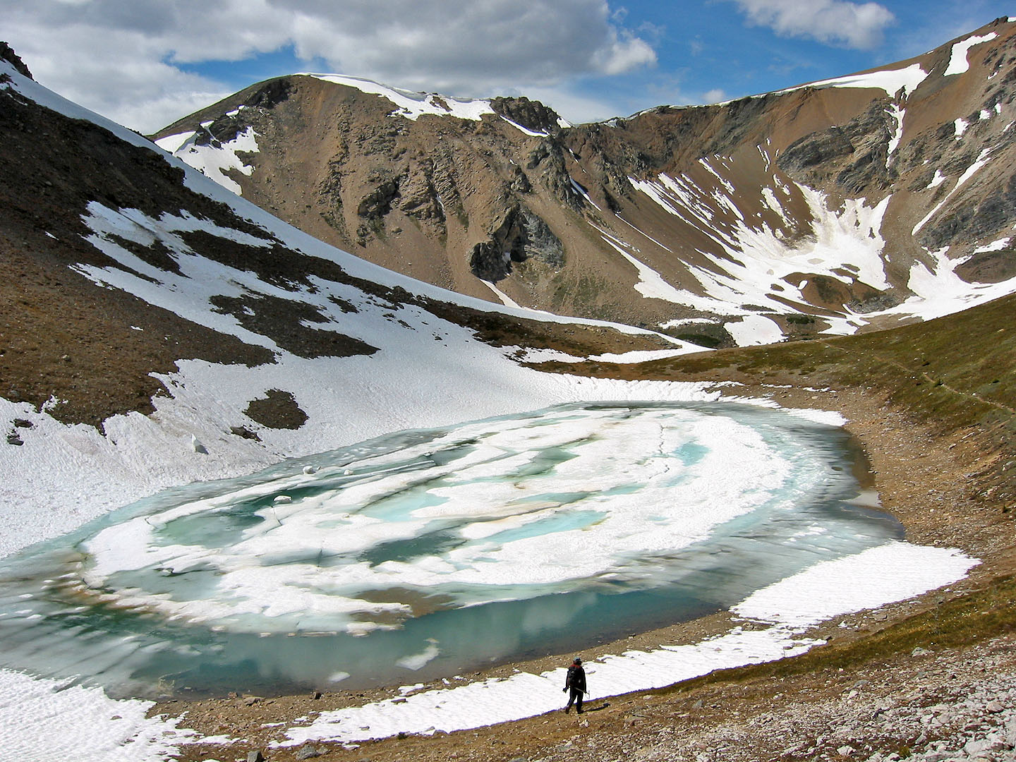
Passing the first tarn
Looking back at the tarn
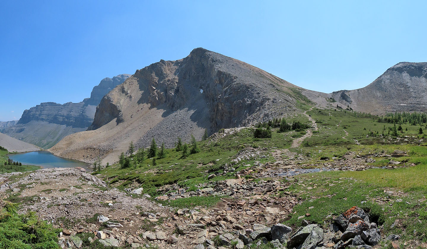
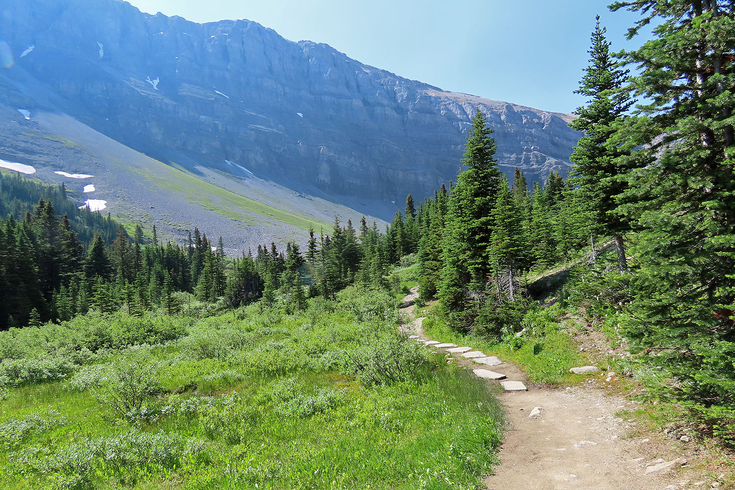
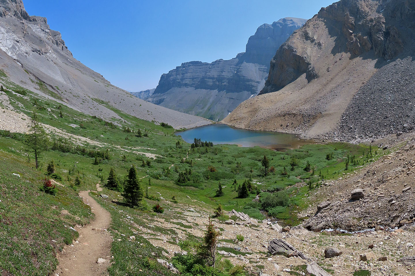
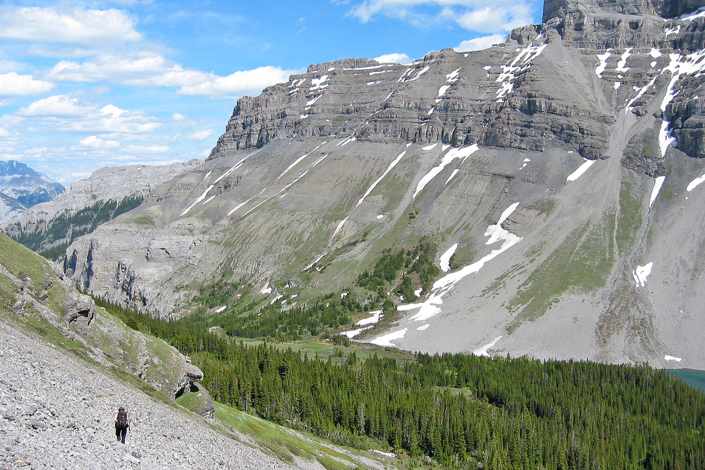
From a basin, the trail continues up Harvey Pass
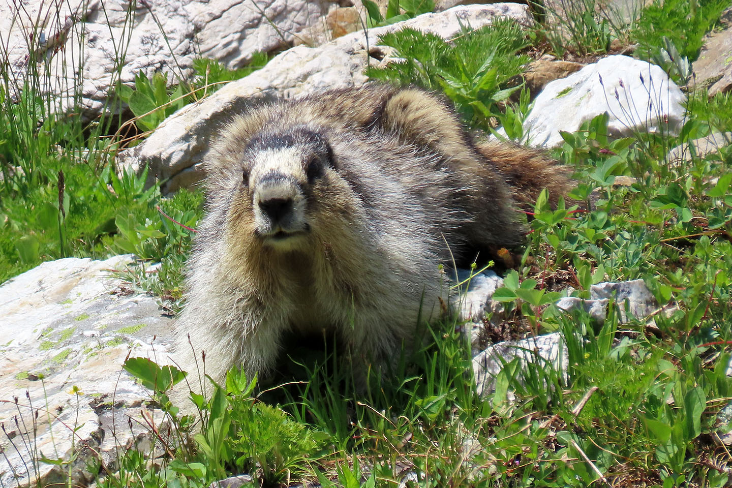
A hoary paused while foraging to watch me
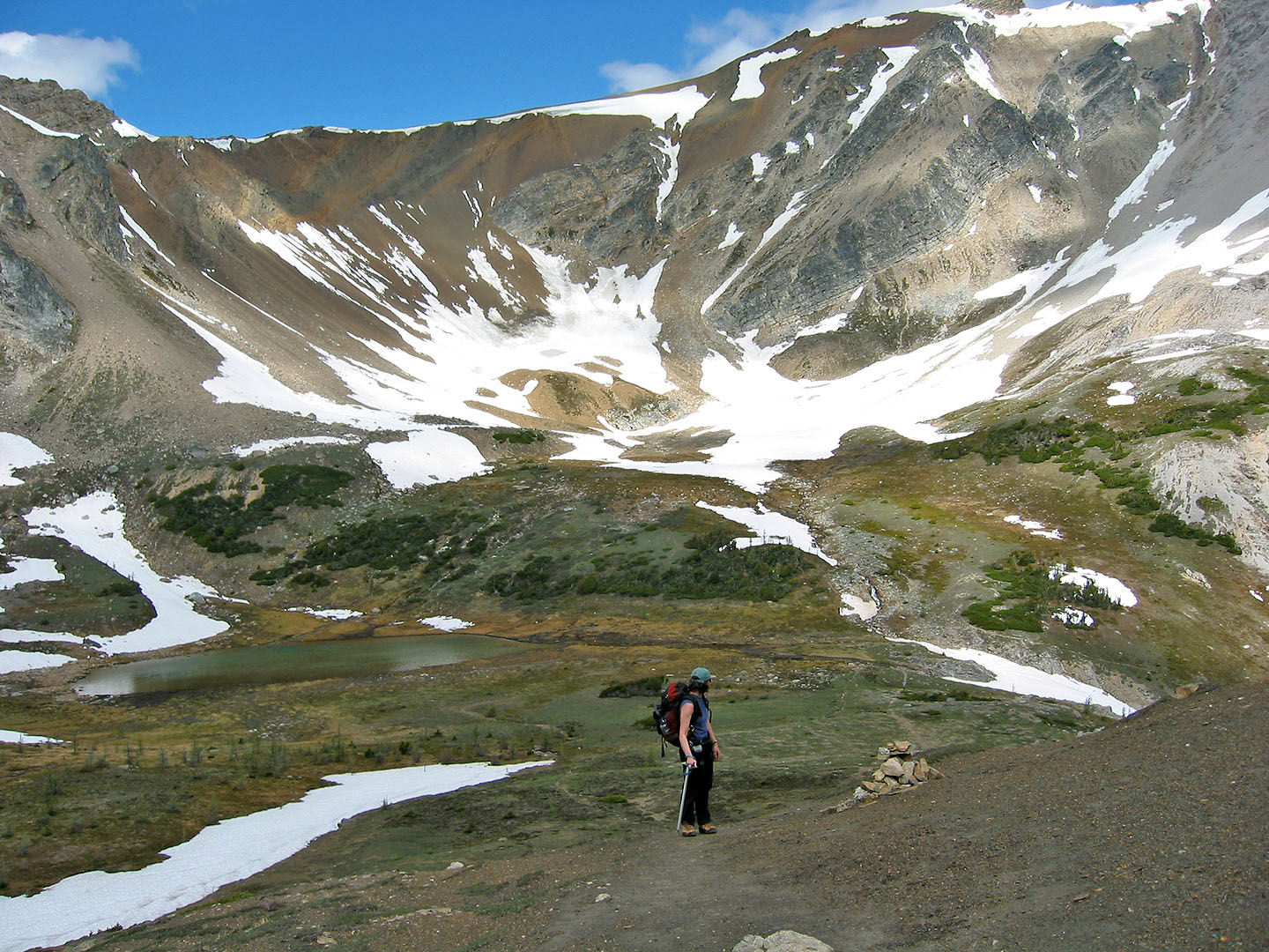
Looking back at the basin from Harvey Pass
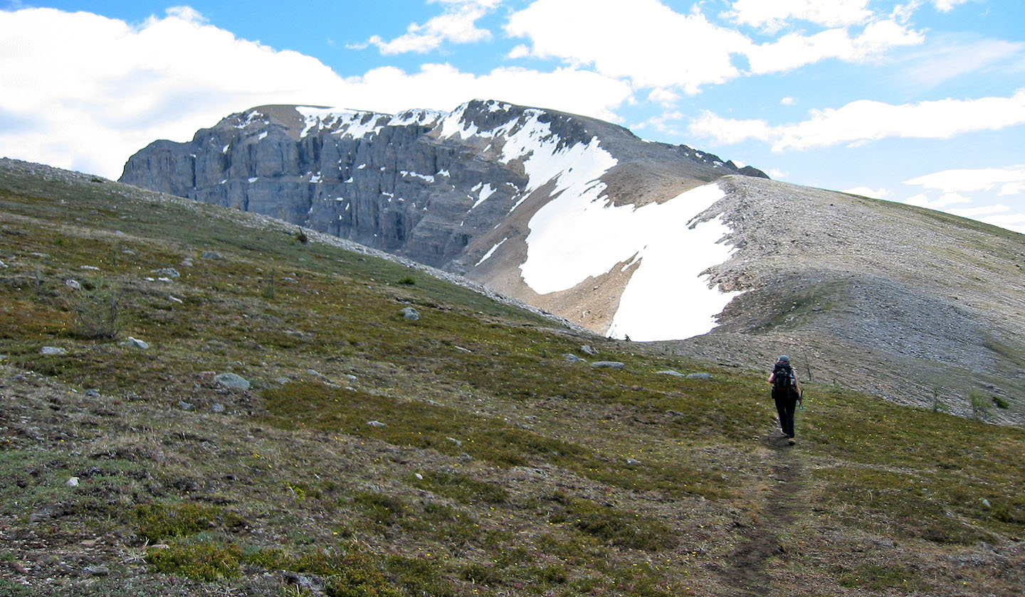
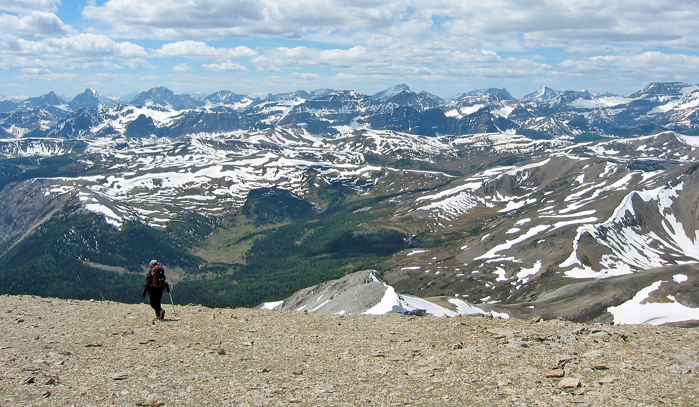
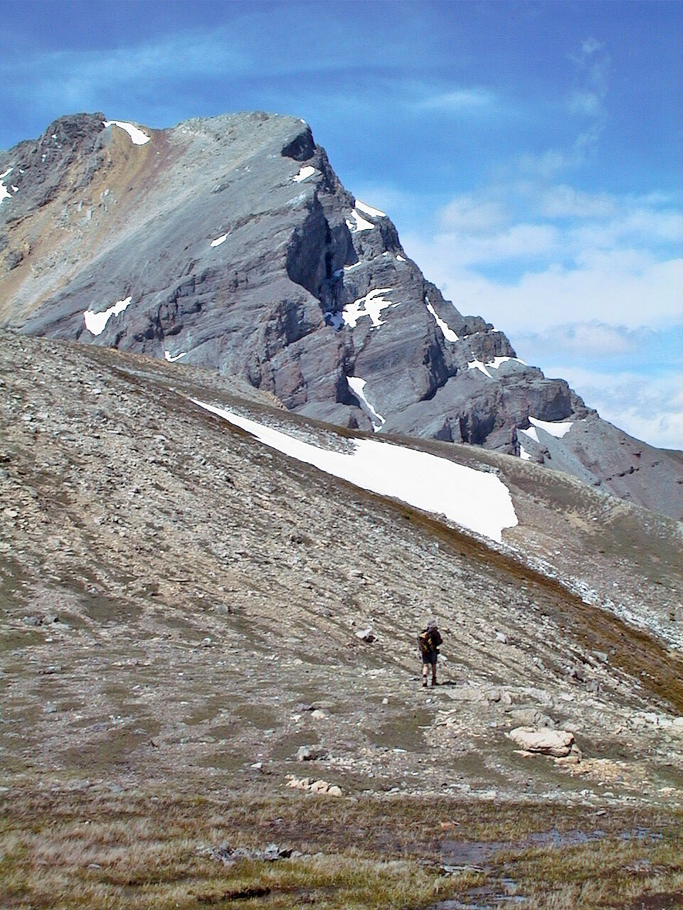
From the pass we hiked mostly offtrail to the summit
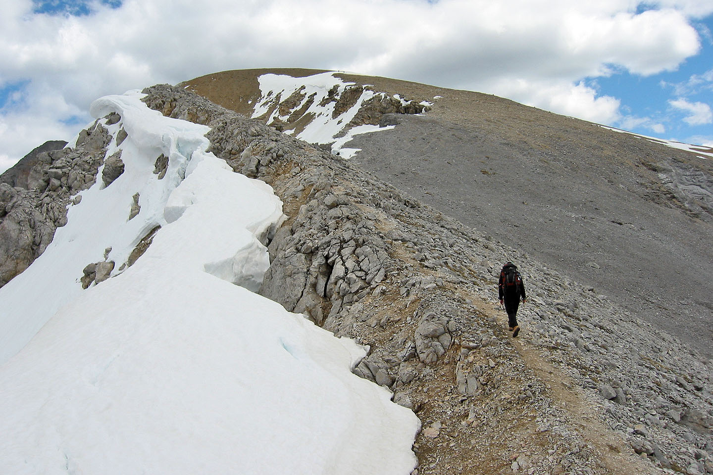 Trudging to the summit
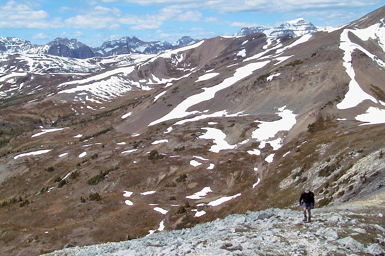
We began to see mountains in the distance
Looking southwest from the summit
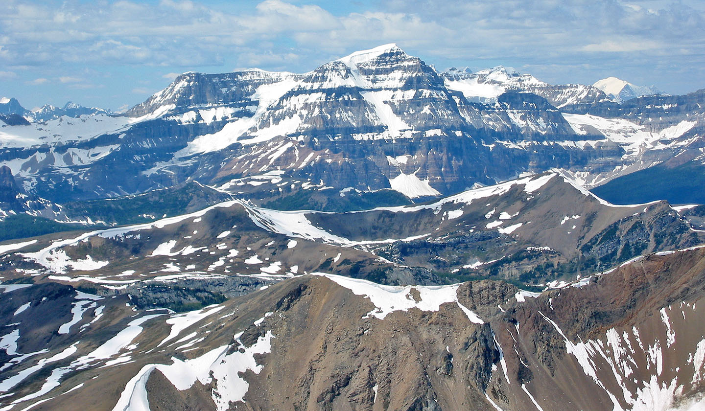
Mount Ball lies west
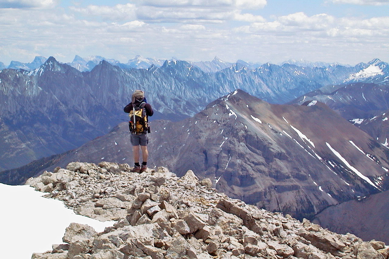
Standing on the summit looking northeast
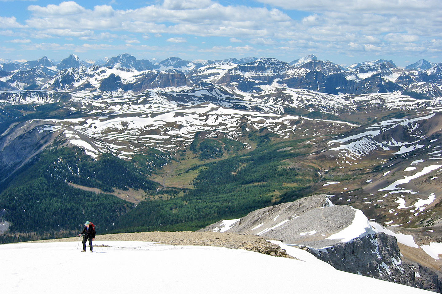
Heading to the southeast ridge to take panorama
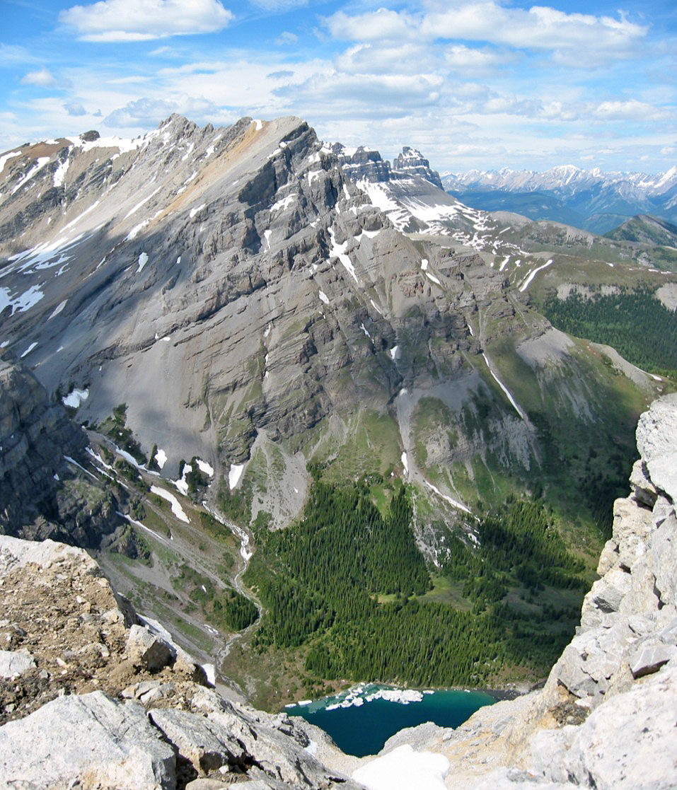
Looking down at Bourgeau Lake
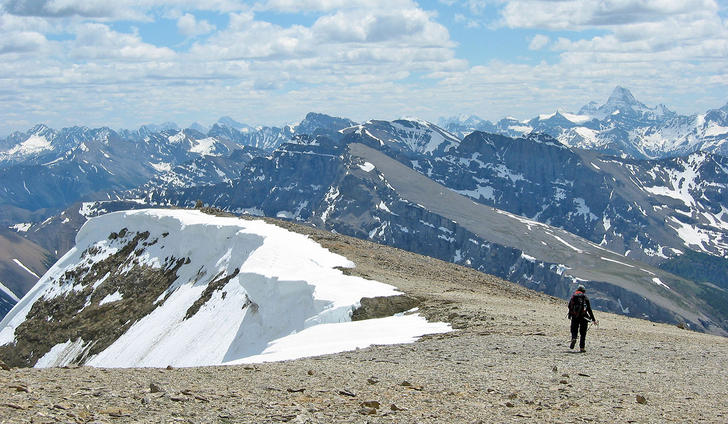
Starting back down
Heading down to Harvey Pass
Tarn on Harvey Pass
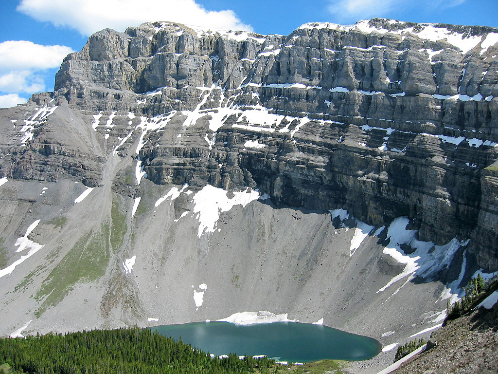
Looking back at the summit above Bourgeau Lake
We'll soon be back in the trees
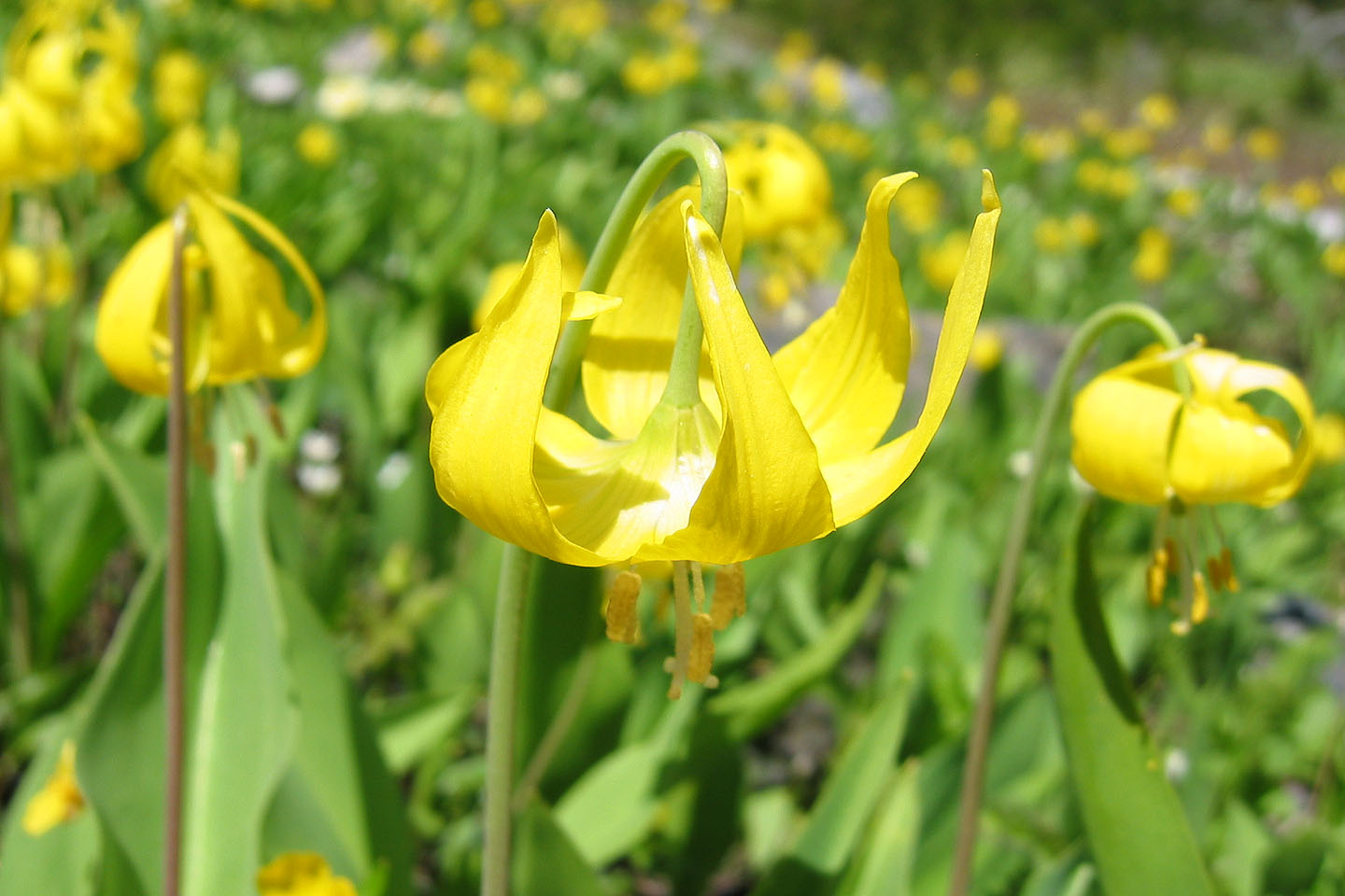
Glacier lilies
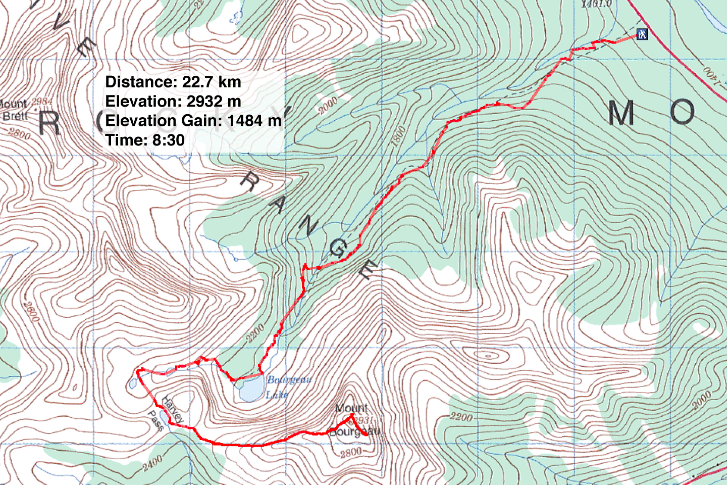
82 O/4 Banff