bobspirko.ca | Home | Canada Trips | US Trips | Hiking | Snowshoeing | MAP | About
Mount Aylmer
Banff National Park, Alberta
August 31, 2004
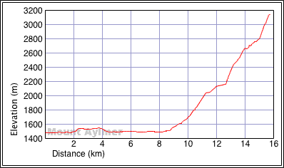
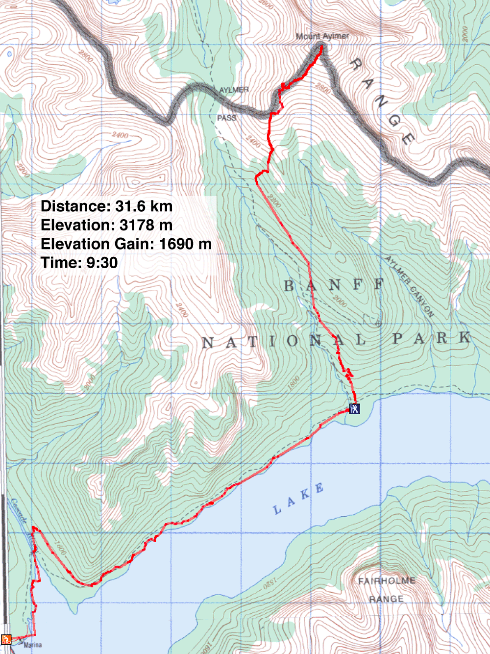
Distance: 31.6 km (19.6 mi)
Cumulative Elevation Gain: 1800 m
(5906 ft)
The day before Dinah and I planned to climb Mount Aylmer, the highest peak in Banff National Park, we were warned not to attempt it. Dinah phoned Banff Park for the conditions, and a park interpreter told her there was too much snow on the mountain for an attempt. We went anyway.
First we had to bike 8.5 km of a stony trail along Lake Minnewanka to Aylmer campground. After stashing our
bikes, we headed up the trail that runs to Aylmer Pass. Before reaching the pass, however, we left the trail
and hiked up a gully. Although it wasn't in the forecast, it started raining. As we climbed higher, it turned
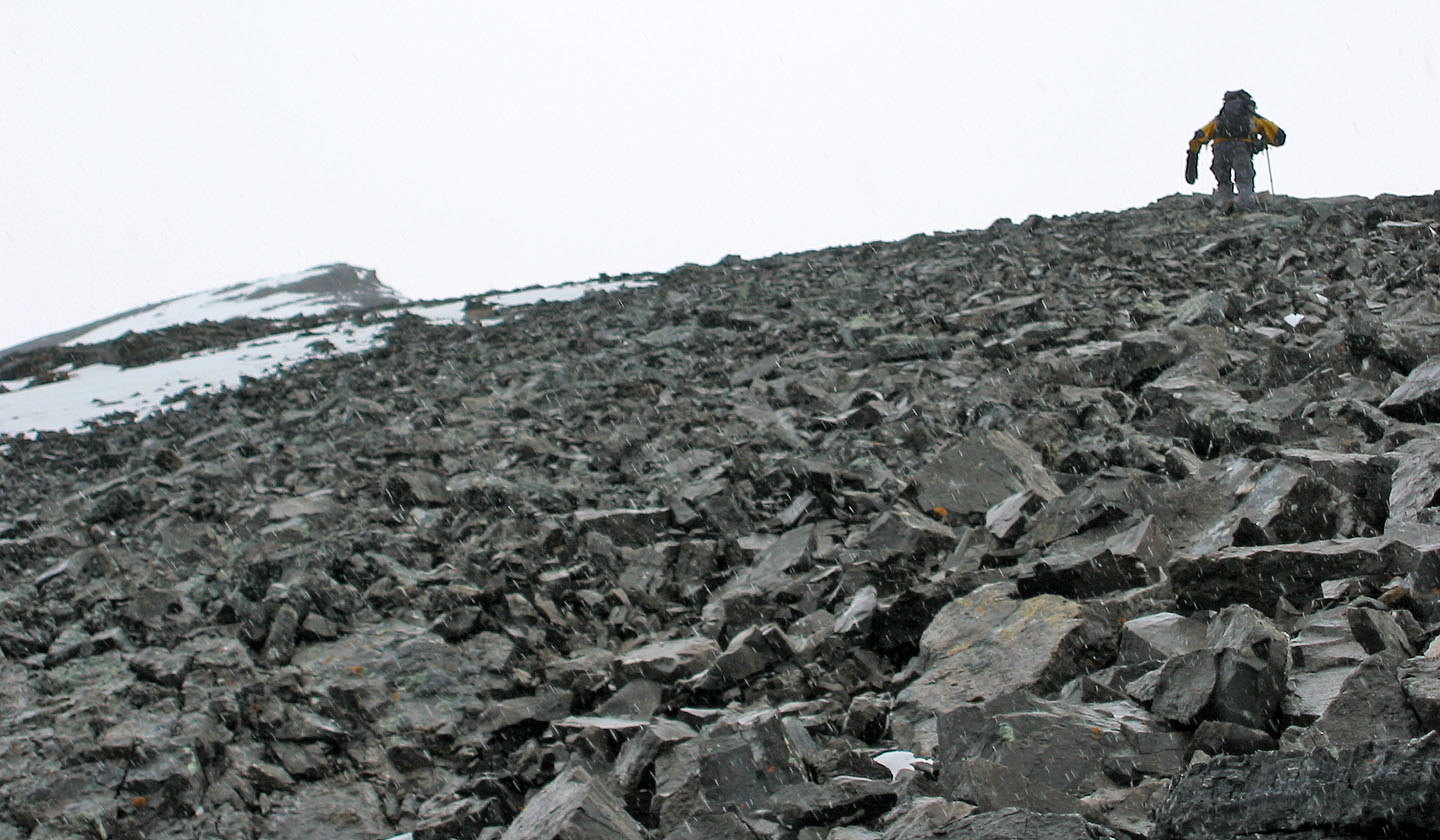
to snow. It grew colder as we ascended, and we kept adding layers. At about 400 m below the summit, visibility
was reduced to a few dozen metres, and we reached the first snow patches. We were also hit by strong winds. At
this point, we doubted we could make the summit which was hidden in clouds: if the weather didn't stop us,
snow on the summit might.
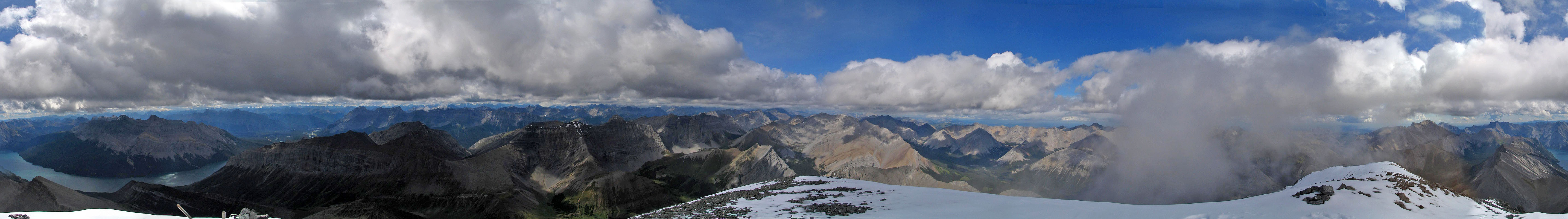
With 200 vertical metres to go, miraculously it ceased snowing, and the summit mist began to dissipate. Soon
we were greeted with blue sky. The snow on the slope became more substantial and unavoidable, but it was soft.
We easily kick-stepped up the final, steep, few-dozen metres to the top.
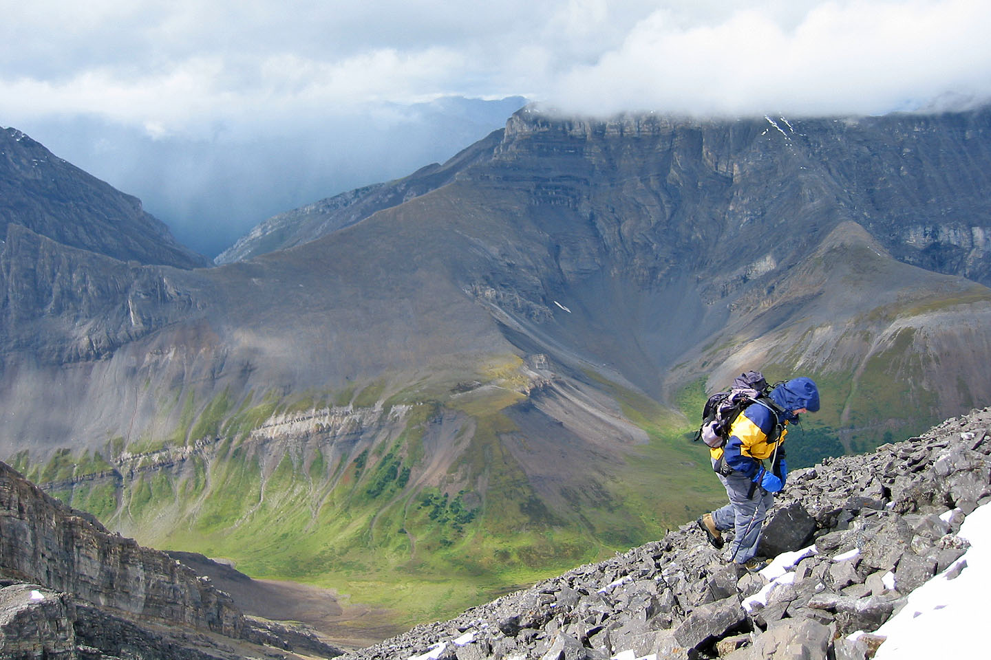
It was too cold to stay long on the summit, so we soon headed back down. From the summit back to our bikes, it
took only 2 hours and 10 minutes, including a 20-minute break below the peak. As we quickly dropped nearly
1700 m, we shed layer after layer so that we were in shorts and T-shirts when we reached our bikes.
KML and GPX Tracks
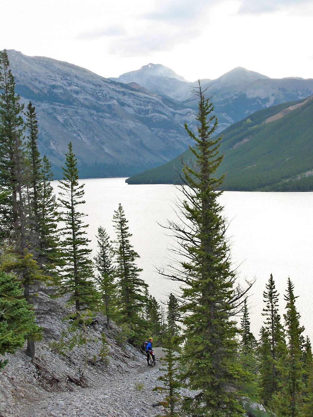
Riding by Lake Minnewanka
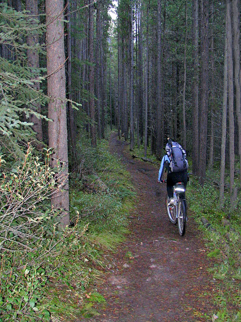
Cycling through the trees
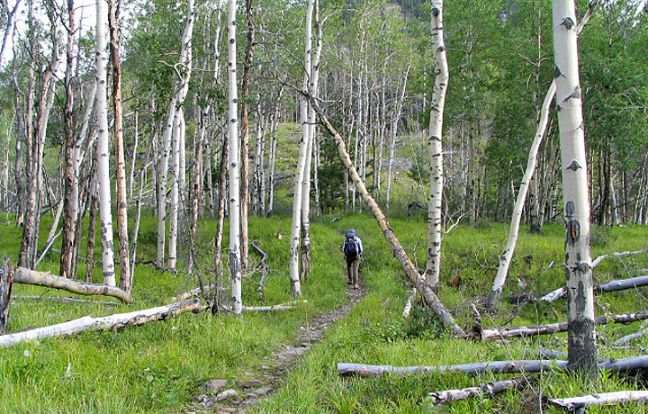
After stashing our bikes we set off up the trail
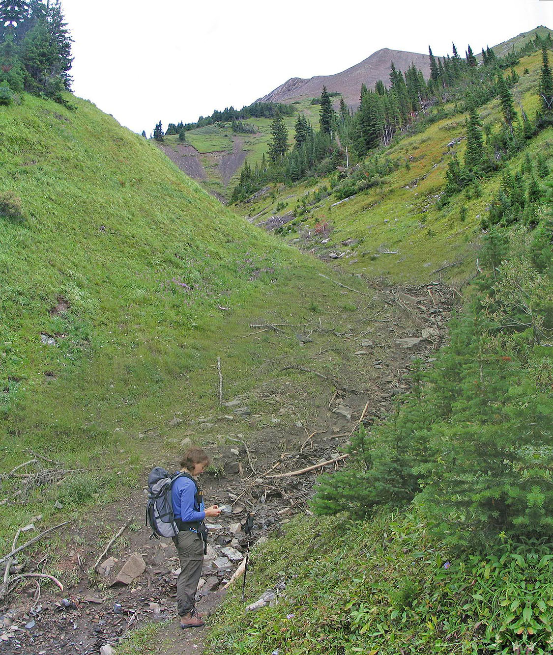
After leaving the trail we ascended this gully
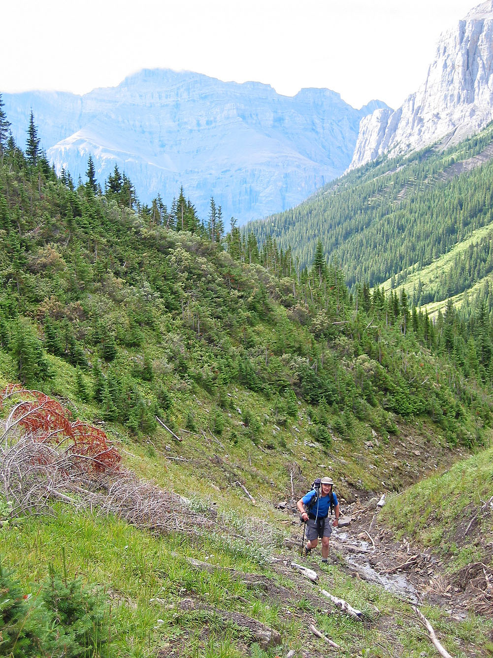
We begun to get views as we climbed
The drainage becomes a walkway
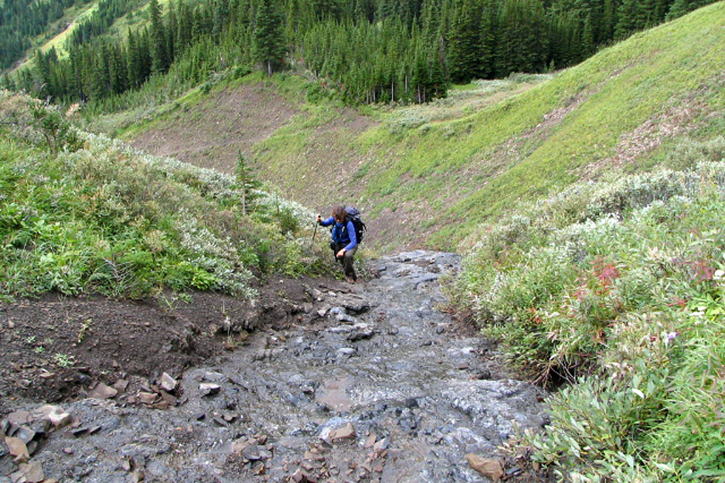
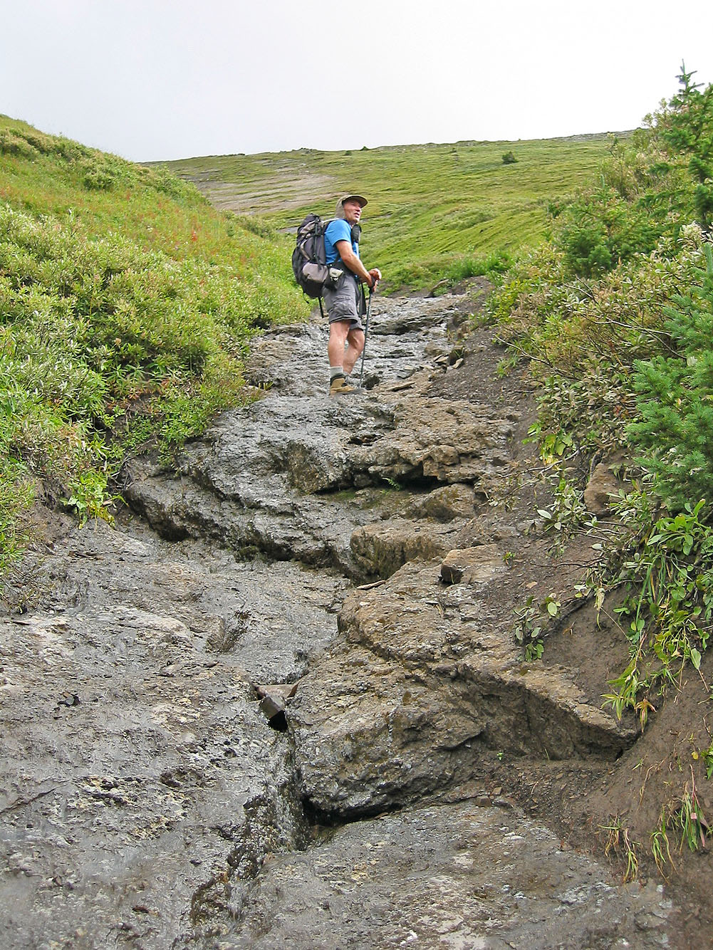
We soon encountered water running down the gully
The junction where the two trails meet, one from the lookout
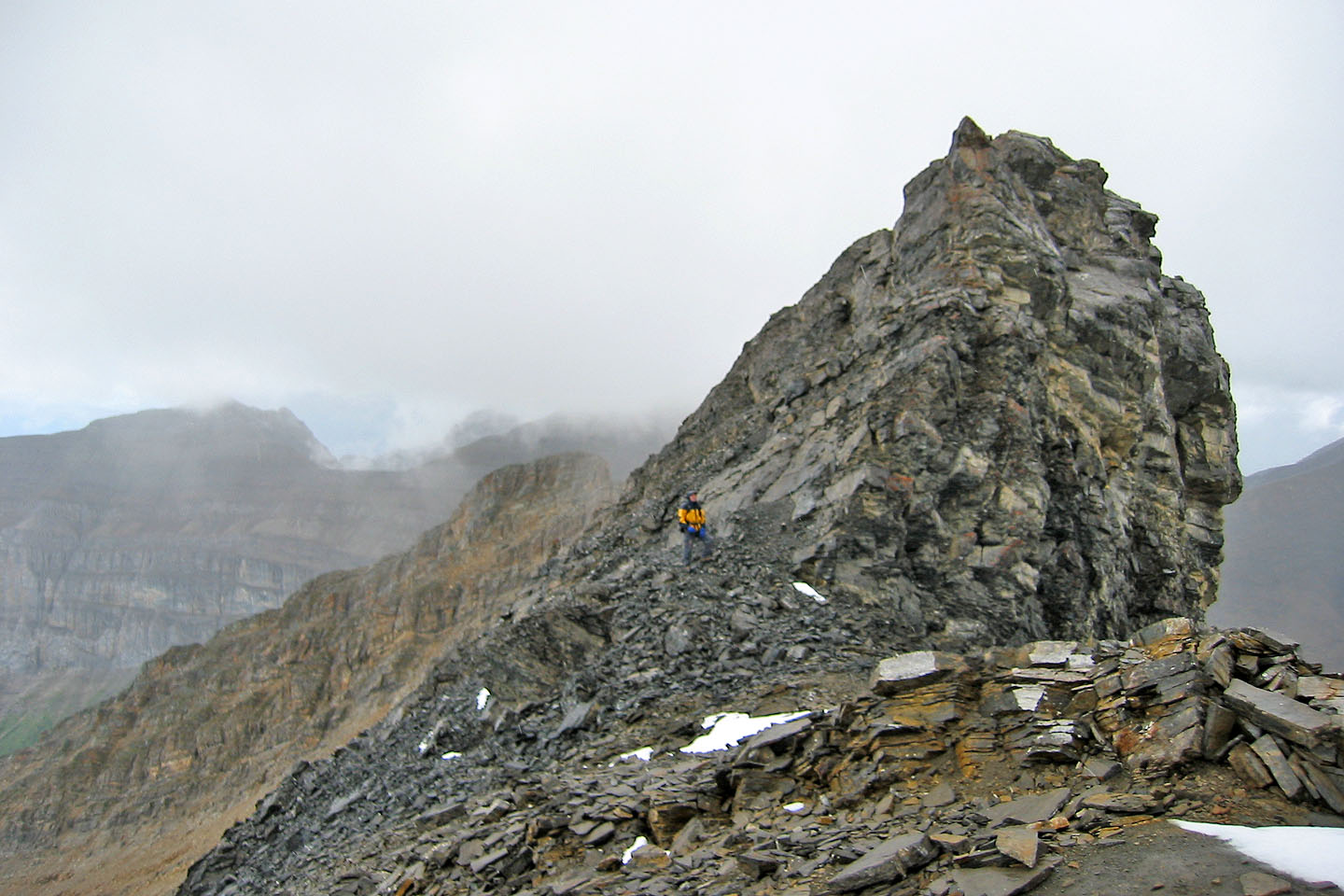
At the junction: the rock band is on the left and the summit is obscured by cloud. We chose to stay below the
rock band rather than follow the crest and do the downclimb.
Traversing below the rock band
Looking back at the downclimb
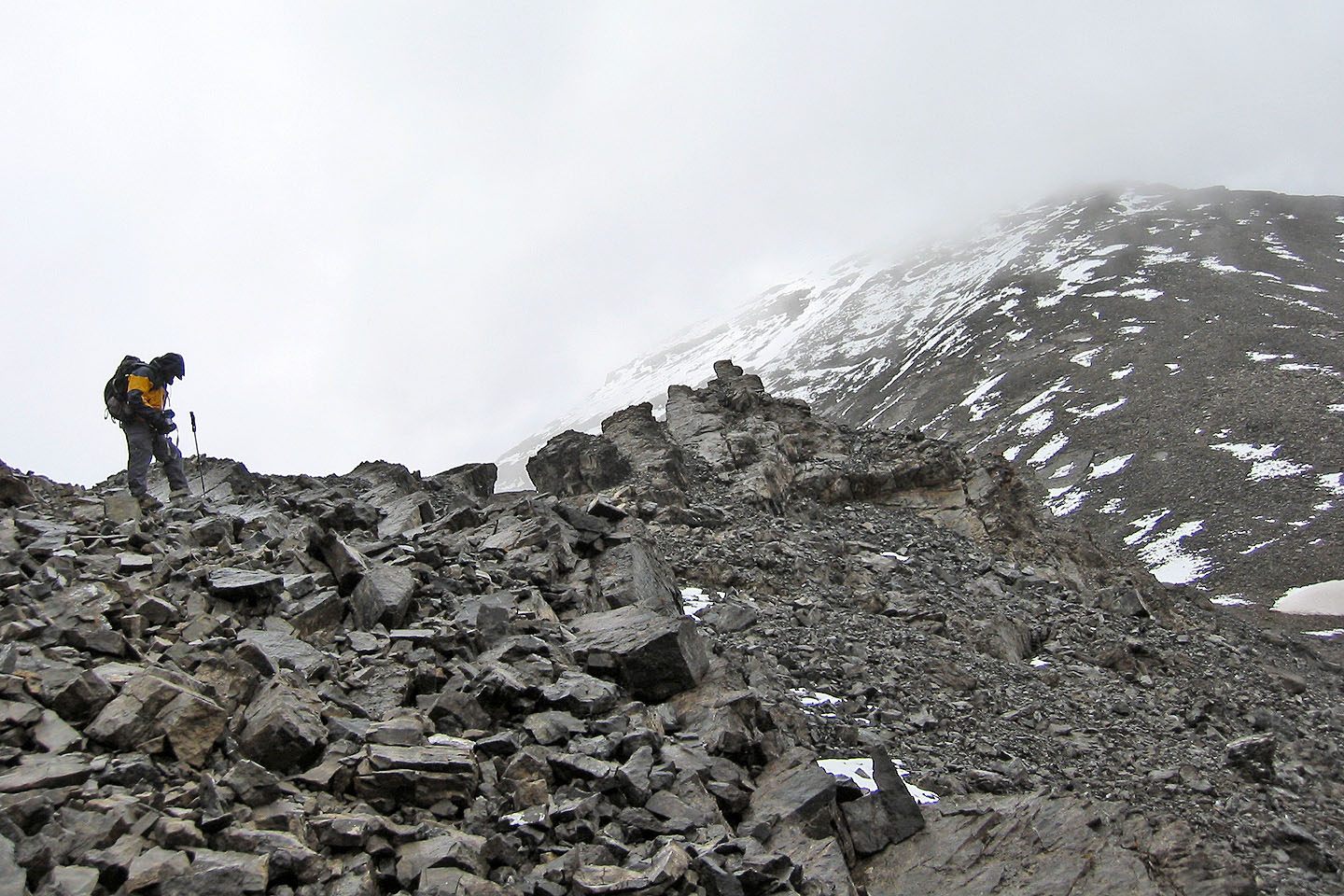
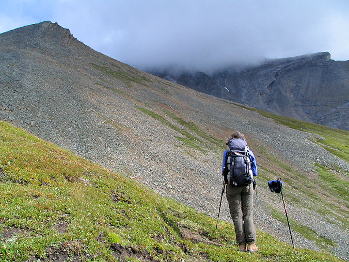
Same spot looking ahead at the summit, 400 m above us
We could only see scree and mist
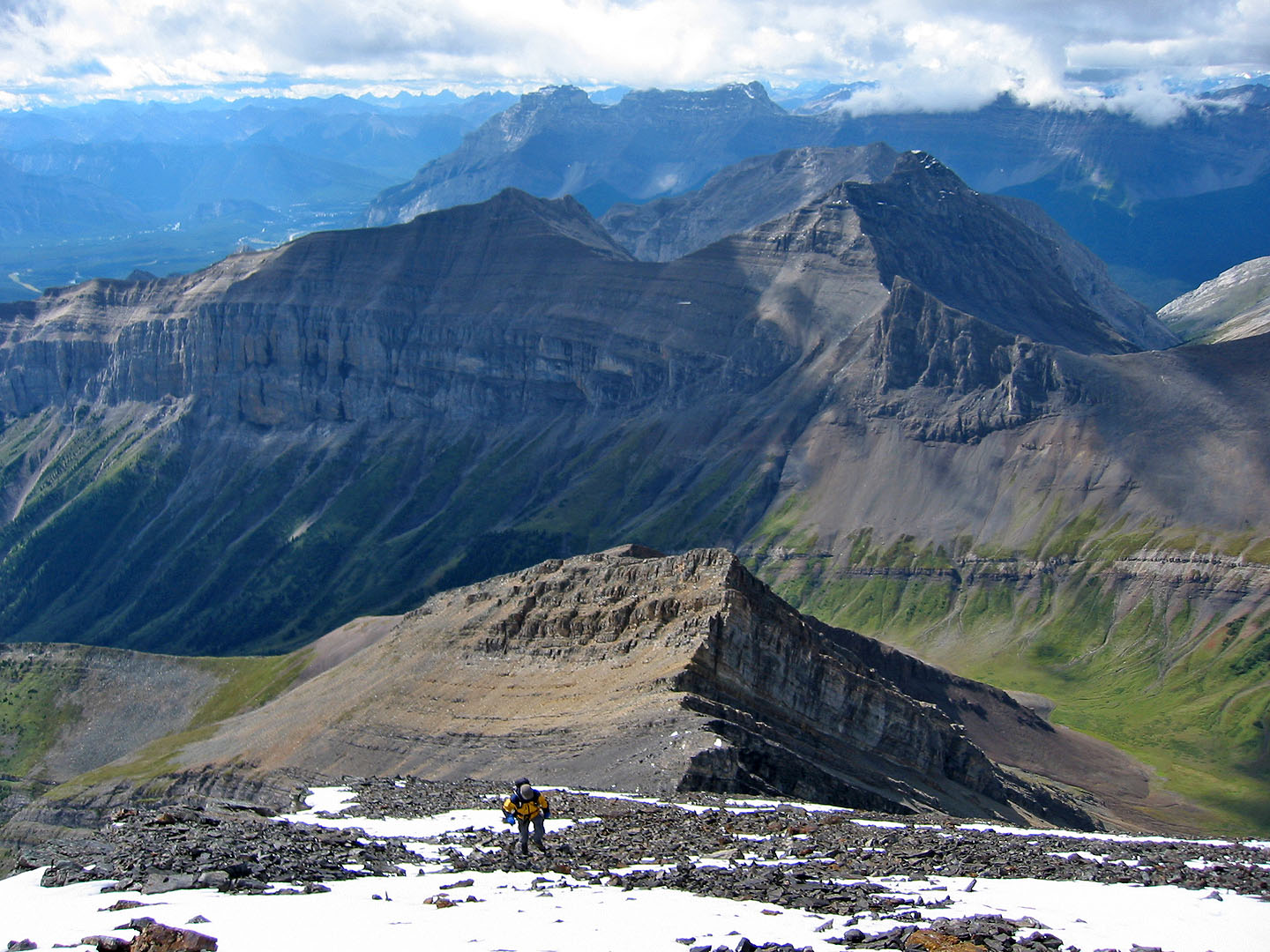
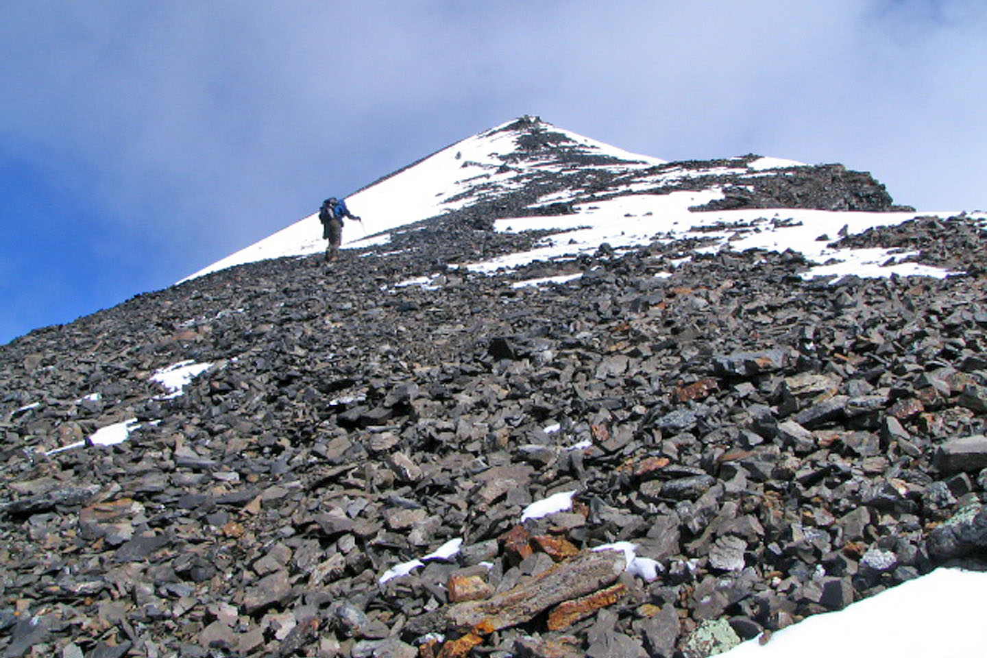
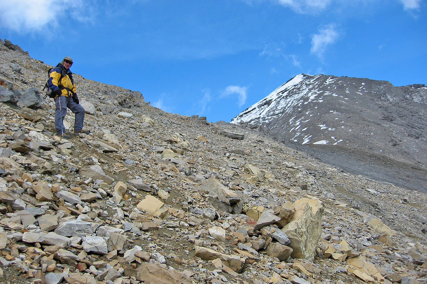
The view north cleared as we ascended the final few hundred metres
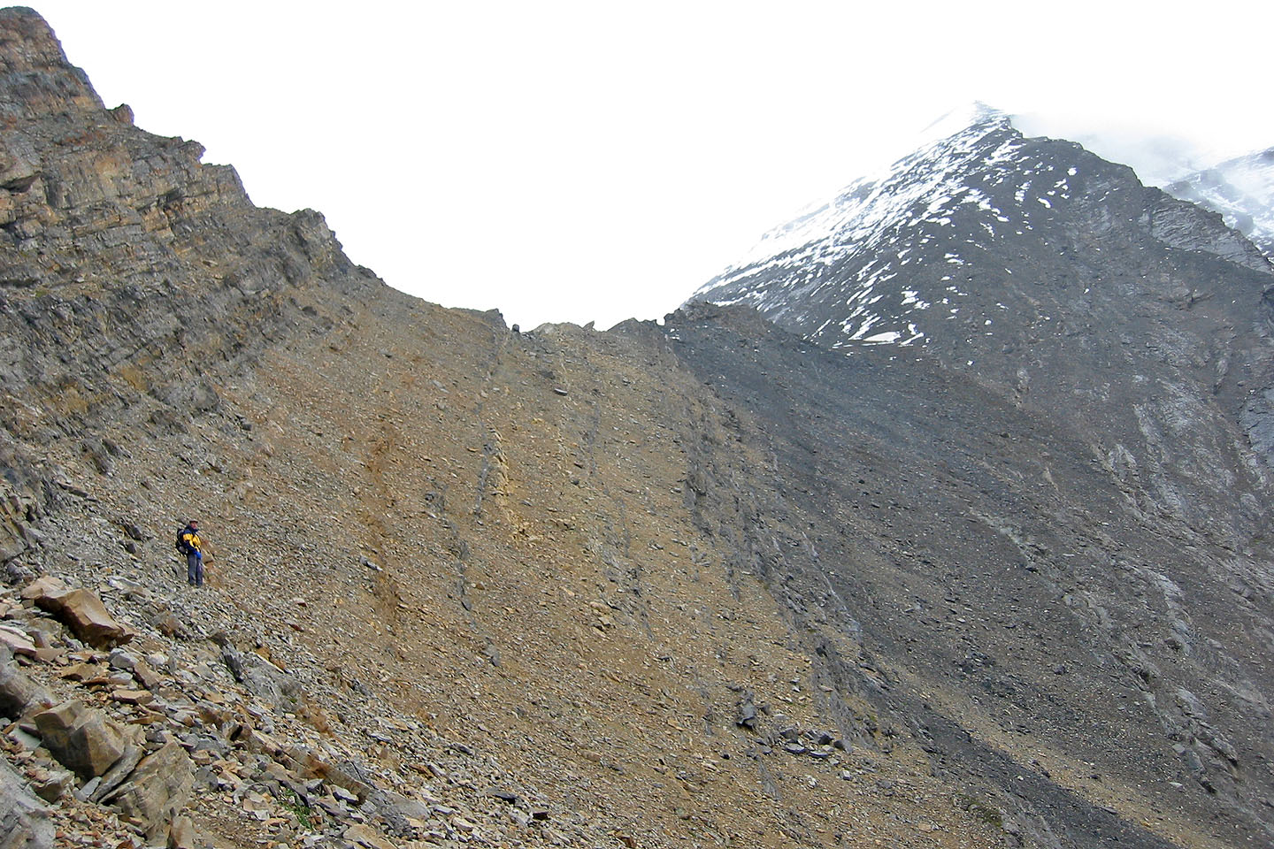
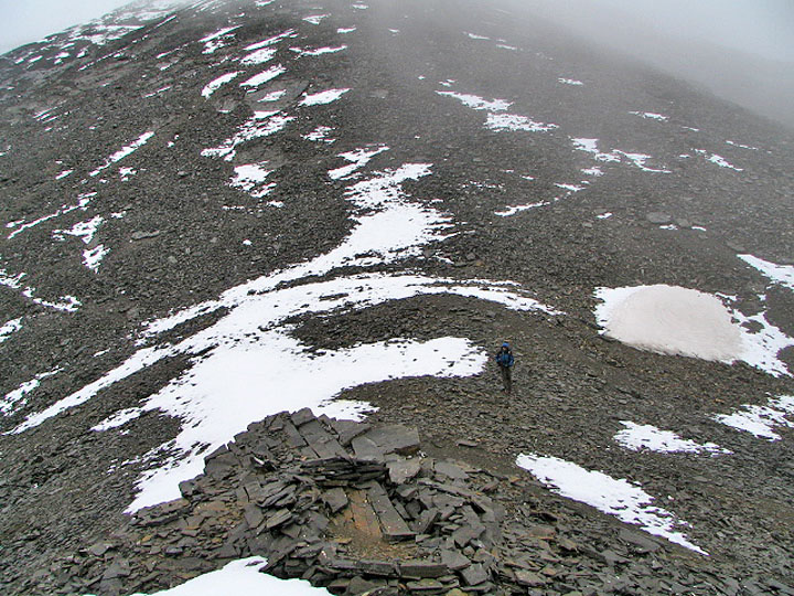
Endless scree all the way to the top
Looking back down the ridge
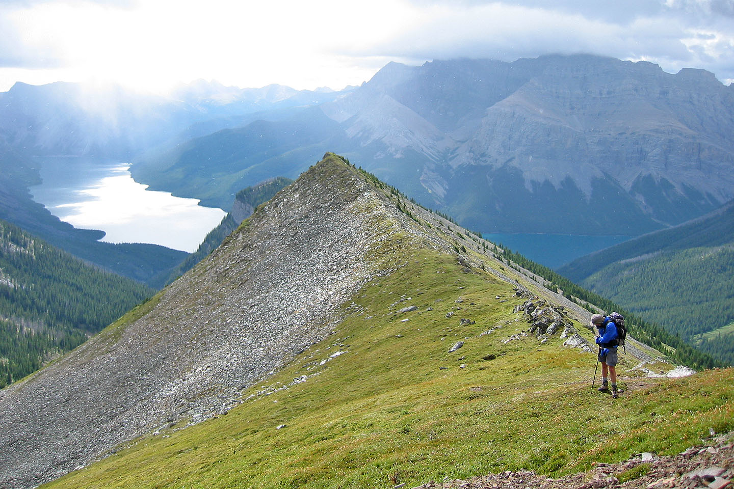
Below us, the alternate ridge trail from the lookout looks appealing although long
The summit cloud disappears as we near the summit
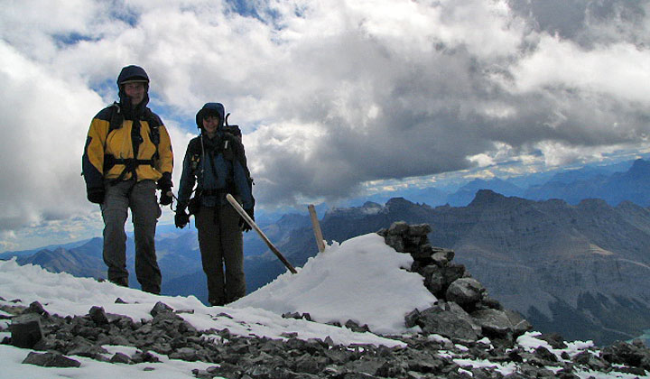
On the summit
Looking back at the summit now free of clouds

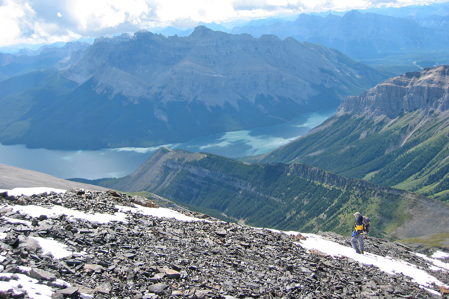
On the descent, the clouds lifted giving us a clear view of Lake Minnewanka
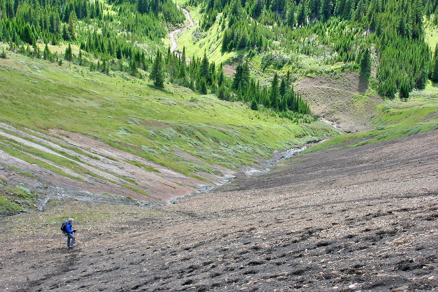
On the return, black scree next to the gully makes for a fast descent. Note the trail at the valley bottom
that leads to the pass.
82 O/6 Lake Minnewanka